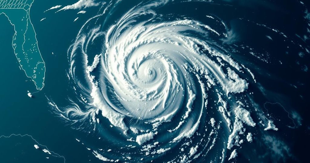
Tropical Storm Rafael Emerges in the Atlantic with Potential Impact on the Southeast

Tropical Storm Rafael has formed in the Atlantic with winds of 45 mph, moving north at 9 mph and expected to impact Jamaica tonight. Heavy rain and gusty winds are projected for Florida and the southeast, with advisories for Gulf residents to stay vigilant. Additionally, the season’s accumulated cyclone energy (ACE) suggests above-average tropical activity, with unexpected landfalls observed along the Gulf Coast. Meteorologists are monitoring another low-pressure system near Puerto Rico for potential development.
Tropical Storm Rafael has officially developed in the Atlantic, exhibiting sustained winds of 45 mph and advancing northward at a speed of 9 mph. Tropical storm conditions are anticipated to affect Jamaica later this evening. As Rafael progresses north, it is expected to bring substantial rainfall and gusty winds, potentially impacting Florida and the southeastern United States significantly. Residents in the Gulf region are advised to stay updated on daily forecasts to monitor any developments regarding this storm.
Additionally, another low-pressure system hovering over Puerto Rico has been identified; however, it is currently deemed to have a low probability of developing as it drifts westward. Meteorologists are particularly attentive to an area that exhibits high potential for tropical development in the upcoming week.
According to climatological data, less than 10% of the seasonal energy remains for the hurricane season, which is now nearing its conclusion in late October. This residual seasonal energy is quantified by accumulated cyclone energy (ACE), recognized as a measure of the energy expended by wind systems. As outlined by the National Oceanic and Atmospheric Administration (NOAA), the ACE serves as a “wind energy index” and thus helps classify the storm season’s activity levels. This Atlantic hurricane season has yielded an ACE value of 145, categorizing it as above average.
While forecasters had predicted above-average activity for this season, the frequency of landfalls, particularly along the Gulf Coast, has surprised many. A comprehensive overview of U.S. landfalls during the 2024 hurricane season indicates that we are not yet in the clear, as we still have a month remaining in the season. For further insights regarding tropical weather conditions, we encourage readers to tune into WeatherNation for timely updates and expert analyses.
Tropical weather patterns are increasingly monitored as hurricane season unfolds, traditionally lasting from June 1 to November 30 each year. The dynamics of tropical storms, such as Rafael, highlight the importance of monitoring wind patterns, precipitation, and temperature variations in the Atlantic Ocean. The development and activity of storms are tracked using metrics like accumulated cyclone energy (ACE), which provide insight into the energy and potential severity of these systems. As hurricane season approaches its end, understanding residual seasonal energy is vital, given that it influences the likelihood of storm formation and intensification in the remaining weeks.
In summary, Tropical Storm Rafael’s formation in the Atlantic brings potential impacts to Jamaica, Florida, and the southeastern United States, with significant rainfall and wind expected. It is imperative for residents in affected areas to remain informed through daily forecasts, particularly as the season nears its end. Furthermore, the current levels of accumulated cyclone energy indicate that the season has been active, with expectations of continued developments. Monitoring and preparedness remain essential as we transition further into the hurricane season.
Original Source: www.weathernationtv.com


