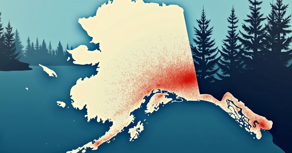
Seismic Activity Near Chenega Bay: An Overview of the October 2024 Earthquake

A magnitude 2.7 earthquake occurred near Chenega Bay, Alaska, on October 1, 2024. It had a depth of 6.9 miles and has not yet been reviewed by a seismologist. Southcentral Alaska’s seismicity stems from the megathrust fault as well as intermediate-depth seismicity within the Wadati-Benioff Zone, with notable historical earthquakes highlighting the region’s geological activity.
On October 1, 2024, at 13:42:34 AKDT (21:42:34 UTC), a seismic event of magnitude 2.7 occurred approximately 20 miles north of Chenega Bay, Alaska. The depth of this earthquake was recorded at 6.9 miles (11 kilometers). This event has yet to be reviewed by a seismologist. The geographical significance of this earthquake is highlighted by its proximities to various key locations, including 35 miles (56 kilometers) southeast of Whittier and 85 miles (137 kilometers) southeast of Anchorage. Southcentral Alaska is characterized by varied tectonic features that contribute to seismic activities in the region. Strong earthquakes predominantly arise from the megathrust fault that separates the subducting Pacific Plate from the North American Plate. Notably, the 1964 M9.2 Great Alaska Earthquake, which remains the second-largest recorded earthquake globally, was centered in Prince William Sound. Additionally, intermediate-depth seismicity, typically occurring below 20 miles (32 kilometers), is linked to the Wadati-Benioff Zone, where the Pacific Plate submerges beneath the North American Plate. This zone stretches from the Aleutian Arc to the Cook Inlet, ceasing at a depth of approximately 140 miles (225 kilometers). Recent significant earthquakes in this zone include the 2016 M7.1 Iniskin and the 2018 M7.1 Anchorage earthquakes, both of which caused extensive ground shaking and structural damage in Southcentral Alaska. Crustal seismicity in southern and central Alaska is associated with several major geological sources, such as the Cook Inlet basin faults, the Castle Mountain Fault, and a broad band of diffuse seismicity occurring between northern Cook Inlet and the Denali Fault. Historical events indicate these structures can generate considerable seismicity; for instance, the April 1933 M6.9 Anchorage earthquake is believed to have originated from mapped geological systems in this area. The Castle Mountain Fault, located 25 miles (40 kilometers) north of Anchorage, shows signs of Holocene offsets and was responsible for the 1984 M5.6 Sutton Earthquake. Furthermore, the unidentified seismicity zone between Cook Inlet and the Denali Fault indicates potential deformation and seismic activity related to the ongoing interactions between microplates and Alaska’s geological blocks.
The phenomenon of earthquakes in Southcentral Alaska arises from a complex interaction of various tectonic features and faults. The region is notably impacted by the megathrust fault delineating the Pacific and North American plates, with significant earthquakes historically recorded, such as the 1964 Great Alaska Earthquake. Additionally, the subduction process in the Wadati-Benioff Zone contributes to intermediate-depth seismic events. Understanding the crustal sources of seismicity, including the Castle Mountain Fault and other related structures, helps in assessing earthquake risks and the geological dynamics at play in this seismically active area.
In summary, the recorded earthquake magnitude 2.7 near Chenega Bay on October 1, 2024, demonstrates the ongoing seismic activity characteristic of Southcentral Alaska, driven by complex tectonic interactions. The region’s seismic events underline the necessity for continuous monitoring and research to mitigate risks associated with earthquakes and to enhance our understanding of the geological dynamics involved.
Original Source: earthquake.alaska.edu


