Caribbean Disturbance Expected to Develop into Tropical Depression

The National Hurricane Center reports a disturbance in the southwestern Caribbean Sea is expected to develop into a tropical depression shortly. While a tropical storm could emerge, atmospheric conditions introduce uncertainties regarding its potential impact on the U.S. Gulf Coast. Additionally, Subtropical Storm Patty has formed in the North Atlantic, with expected weakening within the week.
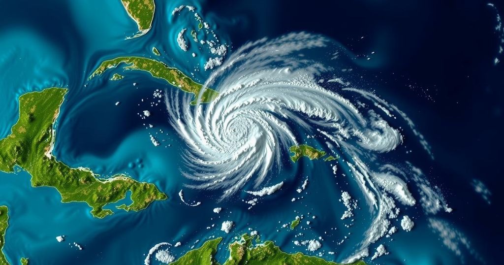
Recent meteorological observations indicate a disturbance in the southwestern Caribbean Sea, which is projected to develop into a tropical depression within the upcoming days, according to the National Hurricane Center (NHC). As of Saturday morning, this system consists of an array of disorganized showers and thunderstorms. However, experts anticipate that it will undergo gradual development throughout the weekend. By midweek, as it moves over the central and western Caribbean, a transition to tropical storm status seems plausible, potentially earning the name Rafael. Bryan Norcross, a Hurricane Specialist at FOX Weather, indicated that computer forecast models suggest that the system could reach tropical storm intensity as it approaches the southern Gulf by Wednesday or Thursday. He warned that a significant influx of tropical moisture associated with the system poses a flooding threat to the Caribbean islands west of Puerto Rico starting Monday, with some moisture potentially affecting South Florida by midweek. After entering the Gulf, however, the prospects for the system remain uncertain. Norcross highlighted the unpredictability of the forecast, stating that if the storm maintains a relatively weak status, it might drift towards the Mexican coast. Conversely, if it strengthens further, there is potential for it to head northward towards the U.S. Gulf Coast. Norcross elaborated on the possibility of adverse atmospheric conditions inhibiting further development should the storm approach the U.S. These include dry air in the Gulf of Mexico and an unfavorable upper-level wind pattern, making a significant storm impact on the coastal areas seem unlikely at this time. Predictions indicate that if this system were to reach land, it would likely do so around the following weekend. In addition to the disturbance in the Caribbean Sea, the NHC is actively monitoring another system in the northeastern Caribbean. This system possesses a low chance of development in the upcoming week but may bring heavy tropical rainfall to various Caribbean islands in the interim. In parallel, the North Atlantic region has seen the emergence of Subtropical Storm Patty, which is currently situated approximately 400 miles west-northwest of the Azores. Patty is projected to maintain its strength but may weaken into a post-tropical cyclone by late Sunday, with its remnants possibly affecting parts of Portugal and western Spain early next week.
The Atlantic hurricane season, which runs from June 1 to November 30, is a critical time for the monitoring and forecasting of tropical storms and hurricanes affecting regions in the Atlantic Ocean and the Caribbean Sea. As the season nears its end, weather authorities such as the National Hurricane Center are increasingly vigilant about disturbances that may develop into significant weather events. This period is particularly important in assessing threats to coastal areas and ensuring preparedness in affected regions.
In summary, there is a significant likelihood that the disturbance in the southwestern Caribbean will evolve into a tropical depression or storm within the next few days, with potential impacts on Caribbean islands and the Gulf of Mexico. However, due to fluctuating atmospheric conditions, the forecast for landfall in the U.S. remains uncertain. Ongoing monitoring of both the Caribbean disturbance and Subtropical Storm Patty will be essential as the weather patterns develop.
Original Source: www.fox13news.com


