Monitoring Potential Tropical Developments as Subtropical Storm Patty Emerges

The National Hurricane Center is monitoring three disturbances, including new Subtropical Storm Patty and another potential tropical depression in the Caribbean. The storm poses minimal immediate impact to Florida, but continued vigilance is necessary amid changing weather conditions and potential storm developments.
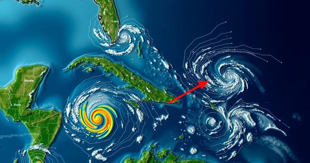
The National Hurricane Center is currently monitoring three disturbances, including the recent formation of Subtropical Storm Patty. Meteorologists predict a tropical depression may develop next week due to a system gaining strength in the Caribbean Sea, with an 80% chance of this occurrence within the next seven days. Another system located closer to Puerto Rico is anticipated to generate thunderstorms across the Greater Antilles before merging with the developing Caribbean system. Subtropical Storm Patty, situated to the west of the Azores, is moving east-southeast. It boasts maximum sustained winds of approximately 50 mph, although little change in intensity is forecasted today. However, gradual weakening is expected as the storm moves further along, potentially transitioning into a post-tropical cyclone by Sunday evening. Tropical storm conditions might affect the Azores, leading to rainfall between 1 to 2 inches over the next few days, and the storm’s swells are likely to create hazardous surf and rip currents in the region. In terms of implications for the United States, it is essential to recognize that hurricane occurrences are comparatively rare in November. Ryan Truchalat, forecaster and owner of Weathertiger, mentioned that most reliable models suggest that potential storms may move west or northwest into the Gulf of Mexico, but scenarios involving a northeastward turn towards Florida remain less certain. As of now, there are no imminent threats to Florida, but vigilance is advised as weather patterns develop. As we progress into November, the focus of tropical activities typically shifts closer to the United States as opposed to earlier months when storms approach from the east. The western Caribbean Sea presents a favorable environment for tropical development, particularly concerning heavy rainfall in coastal areas of Jamaica, Hispaniola, and Cuba over the next few days. Individuals in these regions should remain attentive to potential weather updates. That said, the National Hurricane Center will maintain its watch over these systems, and updates will continue as more information becomes available regarding their development and potential impact.
The Atlantic hurricane season, spanning from June 1 to November 30, is characterized by fluctuating storm patterns, with typical formations being more prevalent earlier in the season. By November, however, patterns shift towards the Caribbean and southeastern U.S. due to the warmth of the waters, which still facilitate tropical development. Understanding the behavior of these systems as they approach land is crucial for safety and preparedness in affected regions, especially Florida, where historical data shows limited hurricane strikes during this month.
In summary, the National Hurricane Center is tracking Subtropical Storm Patty and a developing tropical system in the Caribbean that may culminate in a tropical depression. Advance warnings about potential weather impacts are vital for coastal communities, particularly as the focus of storm activity transitions closer to the United States. While immediate threats to Florida remain low, continued monitoring and readiness are advisable as the situation unfolds.
Original Source: www.tallahassee.com


