Three Areas Under Surveillance for Tropical Storm Development in Caribbean and Atlantic

The NHC is tracking three weather systems for potential tropical storm formation, particularly an area in the southwestern Caribbean with a high chance of developing into a tropical storm over the upcoming week. Other systems are also being monitored, but there is minimal expectation for severe impacts in Florida or the Gulf Coast due to atmospheric conditions.
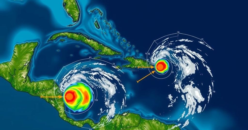
The National Hurricane Center (NHC) has identified three areas in the Caribbean and Atlantic that show potential for tropical development. One notable region is situated in the southwestern Caribbean, which currently has a 30 percent chance of developing into a tropical system over the next two days and a significantly higher 70 percent chance in the week ahead. Forecasters suggest that this area could evolve into a tropical depression or storm, possibly named Patty, by the end of the weekend or early next week as it gradually moves north or northwest across the central to western Caribbean. In addition to this system, the NHC is monitoring a newly developing trough of low pressure located near Puerto Rico, which is generating a substantial area of showers and thunderstorms across the Greater Antilles and adjacent waters. Meteorologist Dave Osterberg from FOX 13 highlights that the high pressure expected to build over the Atlantic will likely steer this developing system towards the Gulf of Mexico. However, the storm’s potential for development could be hindered by high wind shear and dry air in the Gulf, indicating a less robust response than in prior storms this season. Additionally, it is worth noting the phenomenon that “smaller storms deepen quicker and also weaken quicker”, according to Denis Phillips, chief meteorologist for ABC Action News. As most November storms are relatively rare, forecasters advise that there is minimal reason for concern. Moreover, another non-tropical low-pressure system, producing showers, has emerged in the North Atlantic, positioned approximately 400 miles west of the Azores, with a slight 10 percent chance of subtropical development as it advances eastward over the next week. Despite the potential storm activities, meteorologists convey an optimistic outlook: “We are not looking at major hurricane impacts regardless of what happens.” Any impacts associated with these systems are not anticipated to reach Florida, as current patterns suggest that any disturbances developing will likely track towards the northern Gulf coast, albeit with diminished intensity.
Tropical storm activity typically intensifies during the Atlantic hurricane season, which runs from June 1st to November 30th. The National Hurricane Center (NHC) regularly monitors areas of low and high-pressure systems in the Caribbean and Atlantic for their potential to develop into tropical storms or hurricanes. Factors such as water temperatures, high-pressure systems, and wind shear play critical roles in determining storm development and intensity. At this time of year, forecasters increasingly focus on the likelihood of formation, tracking movements, and evaluating potential impacts on coastal areas.
In summary, the National Hurricane Center is actively monitoring three areas of interest in the Caribbean and Atlantic for potential tropical storm development. The southwestern Caribbean shows the highest likelihood of becoming the next named storm, potentially impacting the Gulf of Mexico. However, experts advise caution in anticipating severe impacts, as various atmospheric conditions could limit development and intensity. Furthermore, additional low-pressure areas are under observation, with minimal concern for Florida regarding possible storm tracks.
Original Source: patch.com


