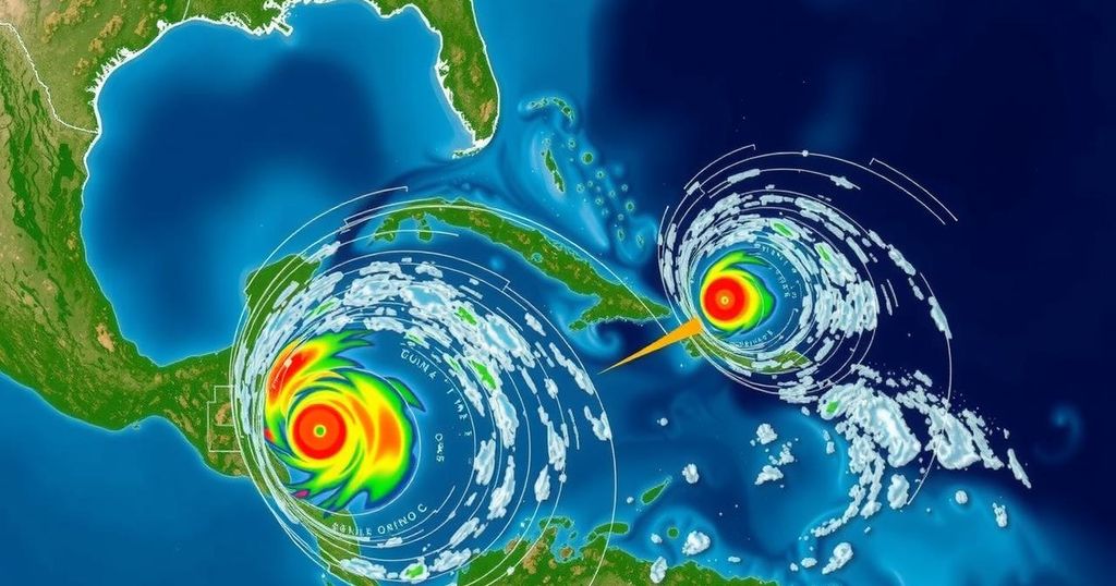
NHC Monitoring Tropical Disturbances with Potential for Storm Patty

The National Hurricane Center is monitoring three disturbances in the Atlantic, particularly a low-pressure area in the southwestern Caribbean, which has a 60% chance of becoming Tropical Storm Patty. AccuWeather forecasts a 90% chance of development. Movement could lead the system toward Central America or threaten the Florida coast between November 6 and November 11.
The National Hurricane Center (NHC) is actively monitoring three disturbances in the Atlantic region, with a notable focus on the potential for one of them to develop into Tropical Storm Patty. According to current forecasts, there exists a 60% chance that a broad area of low pressure forming in the southwestern Caribbean Sea may evolve into a tropical depression over the upcoming weekend or early next week. In contrast, forecasters from AccuWeather project a significantly higher probability of approximately 90% for this development. The trajectory and intensity of the disturbance remain uncertain. An anticipated area of high pressure over the east coast of the United States next week may steer the system toward Central America if sufficiently strong. Conversely, should the influence of the high pressure diminish, the storm might pose a threat to the Florida coastline within the timeframe of November 6 to November 11. Meteorologist Grady Gilman from AccuWeather stated, “Should tropical development occur in the Caribbean Sea next week, there are two scenarios for movement: one toward Central America and another near the Yucatan Peninsula.” Furthermore, Alex DaSilva, Lead Hurricane Expert at AccuWeather, has indicated that the prevailing high wind shear that has previously inhibited tropical organization will decline, thereby creating conditions ripe for tropical development. While the NHC is closely watching two other disturbances, neither of them has shown significant chances for further strengthening due to anticipated high wind shear, particularly affecting a system in the northeastern Caribbean Sea. Another system located in the North Atlantic may exhibit minimal subtropical development but is progressing eastward. It is worth noting that the Atlantic hurricane season, which runs from June 1 to November 30, still has the potential for storms to develop into November and December. The next named storms this season are anticipated to be Patty and Rafael. As it stands, the development of a tropical depression in the Caribbean could result in substantial rainfall across adjacent land areas, with alerts issued for potential life-threatening flash flooding and mudslides, especially impacting regions from the Dominican Republic to eastern Cuba and the southeastern Bahamas. Thus, residents along the Florida coastline and up to the Carolinas are advised to remain vigilant and monitor evolving weather conditions.
The Atlantic hurricane season, typically spanning from June to November, experiences fluctuations in storm activity. As the season progresses into November, the dynamics shift, increasing the likelihood of storm development closer to the U.S. mainland rather than the Atlantic’s African coast. Recent observations of disturbances across the Caribbean have prompted heightened scrutiny by meteorological authorities, particularly concerning the development of significant weather systems that could impact coastal regions.
In summary, the National Hurricane Center is actively monitoring three disturbances in the Atlantic, with a particular emphasis on a system over the southwestern Caribbean that may develop into Tropical Storm Patty. Meteorological forecasts suggest varying chances of development, with implications for potential landfall impacting both Central America and the Florida coast. Residents in susceptible areas should maintain awareness of evolving conditions and prepare for possible severe weather in the coming days.
Original Source: www.naplesnews.com


