Update on Atlantic Weather Disturbances: Monitoring Developments for Potential Storms

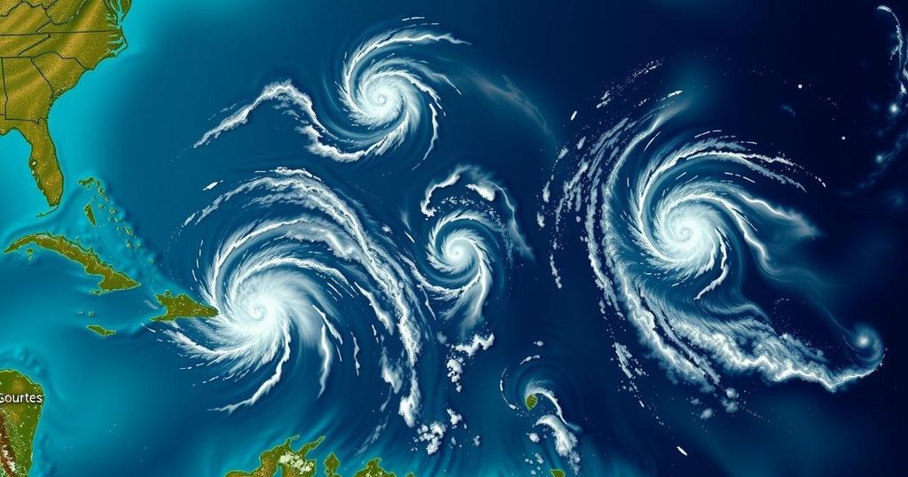
As of Thursday afternoon, the National Hurricane Center is tracking three disturbances in the Atlantic, including a potential low pressure system in the Caribbean with a 60% chance of becoming a tropical depression, which may bring heavy rains to Central and South America. A low pressure area near Puerto Rico has a 10% chance of development, while a non-tropical low in the north Atlantic has a 20% chance of evolving as it moves eastward.
Forecasters at the National Hurricane Center are currently monitoring three meteorological disturbances across the Atlantic Ocean as of Thursday afternoon. One of the more significant concerns is a potential low pressure system developing in the Caribbean Sea, which may generate heavy rainfall for regions in Central and South America. As stated by forecasters at 1 p.m. on Thursday, a broad area of low pressure is anticipated to evolve over the southwestern Caribbean Sea in the next 24 to 48 hours. This system could advance into a tropical depression or storm as it moves northward or northwesternly across the Caribbean. As of the latest updates, this disturbance holds a 60% likelihood of becoming a tropical depression within the forthcoming week. Even in the absence of any development, the forecasters have indicated that this system poses a risk of delivering substantial rains to the areas between Nicaragua and Colombia over the next several days. Currently, there is no imminent threat posed to Louisiana. Should this system intensify into a storm, it would be designated as Patty, marking the 16th named storm of the 2024 Atlantic hurricane season. In addition, there exists a trough of low pressure located near Puerto Rico, generating showers and clouds primarily in the Dominican Republic, Puerto Rico, and the Virgin Islands. While the likelihood of this system developing into a tropical depression or storm is currently low, at 10%, forecasters suggested that some gradual development may occur over the weekend as it heads north-northwest toward the Greater Antilles. This particular disturbance is expected to bring heavy rains across the northern Leeward Islands, Puerto Rico, Hispaniola, eastern Cuba, and the southeastern Bahamas throughout the weekend. Furthermore, a non-tropical low pressure area has manifested in the northern Atlantic, approximately 550 miles west of the Azores. Showers and thunderstorms have started to coalesce around its center, with forecasters indicating a 20% chance of this system evolving over the next week as it shifts eastward.
The Atlantic hurricane season, typically running from June 1 through November 30, is characterized by the formation of tropical storms and hurricanes originating from various atmospheric disturbances in the ocean. Forecasters closely monitor these weather patterns, as they can lead to significant rainfall, flooding, and other hazardous weather conditions in coastal regions and beyond. The naming of storms follows a standardized list maintained by the World Meteorological Organization, serving to improve public awareness and preparedness. The current system being analyzed by meteorologists could have far-reaching impacts, especially in vulnerable areas of Central and South America.
In conclusion, the National Hurricane Center is currently tracking three weather disturbances in the Atlantic, with a particular focus on a potential low pressure system in the Caribbean that poses a 60% chance of developing into a tropical depression. While it may affect rain patterns in Central and South America, there remains no immediate risk to Louisiana. This monitoring serves as a reminder of the ongoing need for public awareness and preparedness during the hurricane season.
Original Source: www.nola.com


