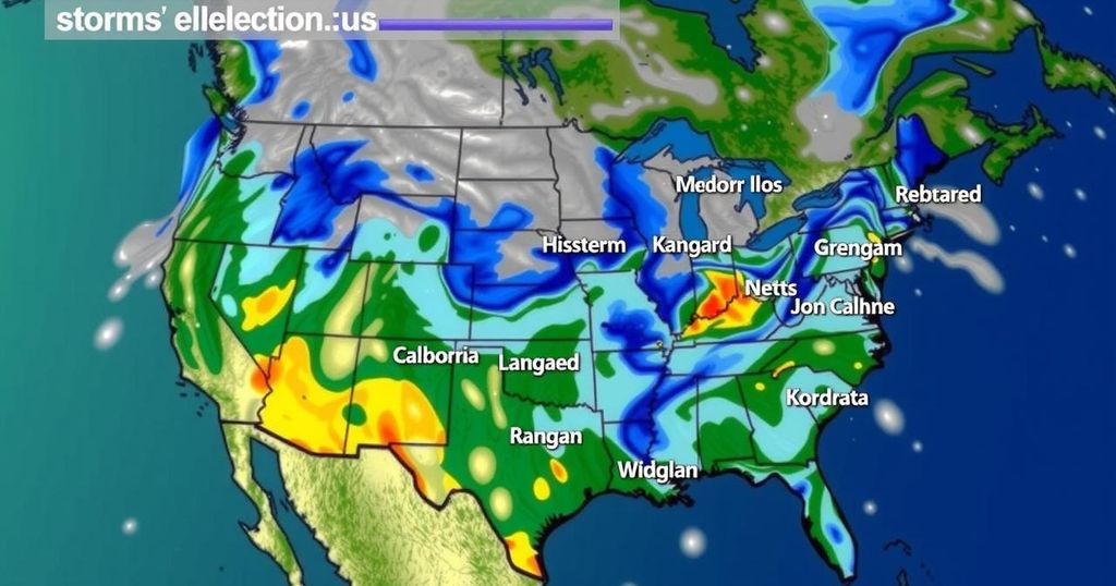
Severe Storms Forecast to Impact Central US Days Before Election Day

The central United States is set to experience multiple days of severe weather, including thunderstorms, flash flooding, and potential tornadoes, primarily from the Plains to the Mississippi Valley. The risks will peak from Thursday through Monday, coinciding with significant events such as Halloween and Election Day, elevating public safety concerns.
Severe weather conditions are anticipated to affect the central United States over the upcoming days, particularly through Election Day. Following a recent series of thunderstorms that impacted regions from Oklahoma to Iowa, meteorologists from AccuWeather predict that a new wave of thunderstorms will emerge, progressing eastward with potential flash flooding, strong winds, and hail. The evening of October 30 saw thunderstorms packing heavy hail, strong winds, and dense rainfall. In the wake of this initial storm, meteorologists expect additional severe weather events to unfold throughout the weekend and into early next week, affecting a broad swath from the Plains to the Mississippi Valley. On Thursday, severe weather is anticipated across the Mississippi Delta region up to the central Great Lakes, with storms possibly continuing to disrupt Halloween festivities as lightning poses a danger to children participating in traditional activities. Fortunately, severe weather conditions are projected to subside by Friday; however, spotty thunderstorms may arise in parts of northeastern Texas and the southern Appalachians, where the potential exists for brush and wildfire ignitions due to lightning. The impending Saturday storm is expected to intensify as it merges with a system moving inland from the Northwest, generating additional hazards, including hail and strong wind gusts primarily affecting West Texas, the Oklahoma Panhandle, and extending through eastern Colorado into western Kansas. Meteorologists highlight that the combination of Gulf of Mexico moisture influx and the influence of the jet stream will escalate storm intensity. Due to the slow-moving nature of these storms, substantial rainfall is anticipated, potentially leading to urban flooding in areas suffering from drought due to rapid water accumulation. The severe weather risks will extend into Sunday, impacting the same regions with flash flood potential, high wind gusts, and tornado threats, especially in major urban centers like Oklahoma City, Kansas City, and Omaha. By Monday, the severe weather threat will persist and expand, affecting areas from north-central Texas to eastern Iowa and western Illinois. Key cities, including Dallas, St. Louis, and Des Moines, will remain under severe weather alerts. While by Election Day, a decrease in storm severity is expected, a prevailing temperature contrast and moisture presence will still foster conditions for localized thunderstorms from eastern Texas to western Ohio. Consequently, voters may encounter travel delays and localized flooding issues at polling locations impacted by torrential downpours and lightning hazards.
The central United States is currently facing a series of severe weather patterns, including thunderstorms that may impact millions. Such weather systems can lead to dangerous conditions characterized by high winds, hail, and heavy rainfall. As multiple storm fronts converge, forecasters are closely monitoring these conditions to provide timely alerts to safeguard public safety, particularly as these events coincide with significant occasions such as Election Day.
In conclusion, the upcoming days will feature significant severe weather events across the central United States, leading to risks including flooding, strong winds, hail, and potential tornadoes. As these storms transition through the region, it remains crucial for residents and voters to stay informed and prepared, as conditions may affect travel and safety during this important period.
Original Source: www.accuweather.com


