
Montana Faces Sudden Shift from Spring Warmth to Winter Weather
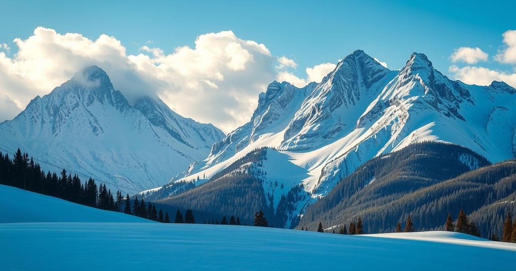
Montana’s temperatures soared into the 60s and 70s today, but a cold front is set to bring rain and snow, drastically altering conditions. Winter weather advisories are in effect, anticipating 1-20 inches of snow in different areas. A drop in temperatures will occur on Thursday before a warm-up this weekend.
Montana experienced a notable rise in temperatures today, reaching the 60s and 70s, a delightful increase of 8 to 21 degrees compared to the previous day. Clear to partly cloudy skies were complemented by mild winds of 5 to 15 mph, with occasional gusts in the 20s and 30s mph, especially east of the continental divide.
The current high-pressure system is creating alluring spring weather, but an abrupt change is anticipated beginning tomorrow. A robust cold front is expected to introduce showers and thundershowers to the region, followed by a transition from rain to snow as colder air saturates the state.
Winter weather advisories have been issued, affecting most mountainous areas and some populated regions, including Butte, Georgetown Lake, and Seeley Lake. Snow accumulation forecasts suggest 1 to 3 inches in lower elevations, while mountains could see up to 6 inches.
Southwest and central Montana are currently under a winter storm watch, predicting snowfall between 4 to 20 inches in areas such as Bozeman Pass, Big Sky, and West Yellowstone. Furthermore, a wind advisory will be in effect Wednesday afternoon and evening for the Missoula, Bitterroot, Mission, and Flathead Valleys, as well as Fort Peck Lake and the Glasgow and Jordan regions, with gusts reaching up to 40 mph.
Expect a significant drop in temperatures on Thursday before a warming trend resumes over the weekend. Tonight’s lows will range from the 30s to lower 40s, while tomorrow’s highs are forecasted to be in the 30s and 40s for north central and central Montana, rising to the 50s and 60s elsewhere ahead of the cold front. Thursday’s daytime highs will slide back down to the 30s and 40s, nearing 50, before rebounding to the 50s and 60s by the weekend.
In summary, Montana will experience a swift transition from spring-like temperatures to winter conditions, driven by a strong cold front. After enjoying warm weather and clear skies, residents should prepare for upcoming rain and snow, with significant snowfall expected in various regions. Following a brief cold spell, warmer temperatures are projected to return for the weekend.
Original Source: www.montanarightnow.com


