Winter Storm Warnings and Mixed Precipitation Forecast for Minnesota

Minnesota faces significant winter storm warnings as a potent Colorado low brings a mix of rain and snow into April. The Twin Cities will see mainly wet conditions, while central and northern areas may experience heavy snowfall. Travel could be severely impacted, especially in areas with lake-effect snow, but improving weather conditions are anticipated later in the week, indicating the arrival of spring.
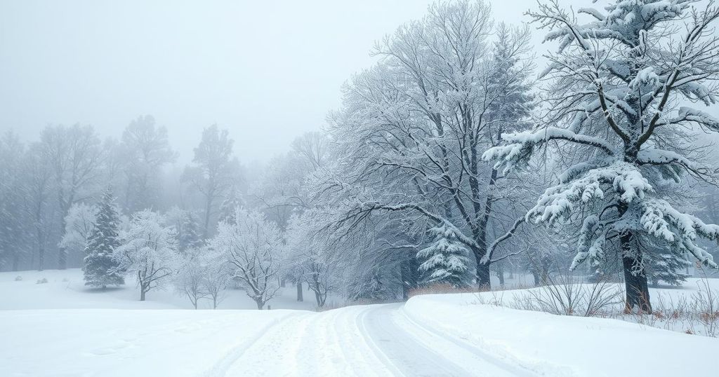
Minnesota is facing a significant winter storm as weather maps reflect conditions similar to winter rather than spring. Winter storm warnings are in effect for central and northern regions, particularly northeast and northwest Minnesota, indicating a mix of rain and heavy snow that will continue into Wednesday.
The system bringing this weather is a potent Colorado low, drawing moisture from the Gulf and distributing it across Minnesota as both rain and snow. This has resulted in temperature variations, hovering around the freezing mark, leading to diverse precipitation types throughout the region.
Late Tuesday afternoon into the evening, the Twin Cities anticipate a band of dynamic cooling that will generate heavy, wet snowfall. This phenomenon is expected to occur between 5:00 PM and 8:00 PM, with snowfall rates potentially surpassing 1 inch per hour during this time.
In terms of accumulation, the Twin Cities will primarily experience a mix of rain and snow, resulting in a few slushy inches on grassy surfaces. In contrast, central and northern Minnesota may see more substantial snowfall, exceeding 6 inches in some areas, particularly near the North Shore, where over 1 foot of snowfall is feasible due to lake effect.
The impending storm is expected to severely impact travel conditions, especially in the North Shore region, where total snow accumulations could reach between 11 to 17 inches. Strong wind gusts may further exacerbate visibility issues, presenting hazardous conditions for commuters.
Interestingly, although this storm will not affect the drought monitor update, it is anticipated to bring 1-2 inches of liquid precipitation, positively impacting drought conditions in the Twin Cities and central Minnesota.
Residents can expect clearer weather from Thursday to Saturday, with temperatures gradually increasing into the 50s in the south and 40s in the north. The forecasts do not indicate significant storms within the next ten days, but milder temperatures in the 70s are anticipated by the weekend of April 12-13, suggesting that true spring is on its way.
In conclusion, Minnesota is experiencing a winter storm characterized by a mix of rain and snow, with significant impacts expected across central and northern regions. The dynamic nature of the storm may lead to heavy snowfall, particularly near the North Shore, while southern areas will see mixed precipitation. Travel hazards are a concern, yet the weather is forecasted to improve, with milder temperatures expected soon.
Original Source: www.mprnews.org


