
Satellite Imagery Reveals Flood Extents in Botswana as of March 2025
As of March 4, 2025, satellite imagery reports that approximately 7 square kilometers in Gaborone and surrounding districts remain affected by flooding. The flood area has decreased by around 23 square kilometers since late February. This assessment is preliminary and seeks validation through ground feedback.
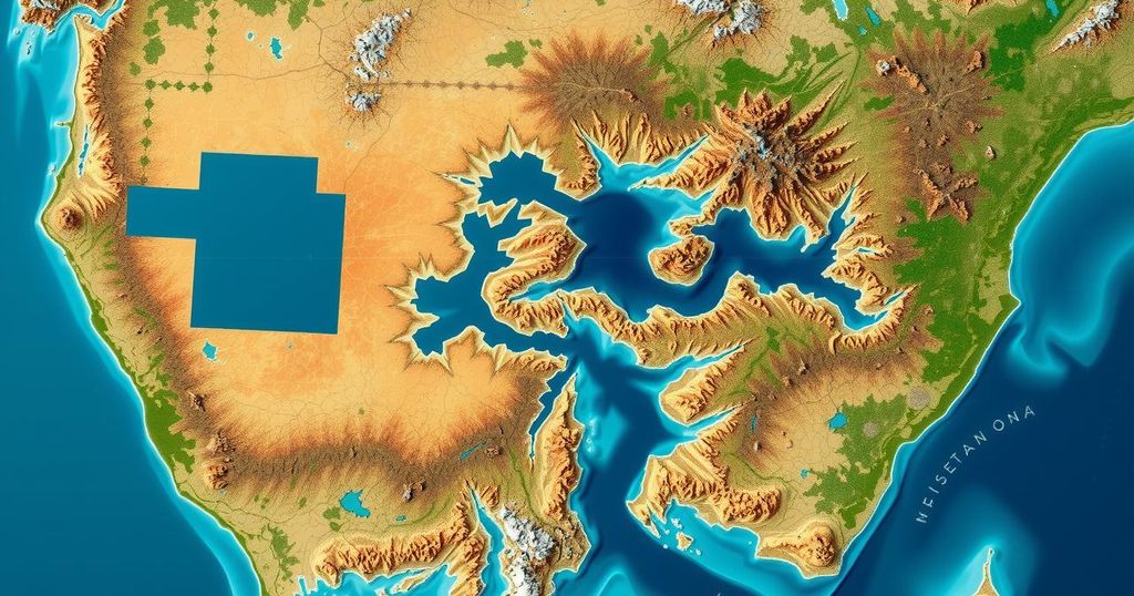
On March 4, 2025, satellite imagery revealed the extent of floodwaters in Gaborone, the South East District, and Kgatleng District in Botswana. This analysis, conducted using multisatellite sources such as Sentinel-2, PlanetScope, and Kanopus-V, identified an area of approximately 700 square kilometers, with around 7 square kilometers still impacted by flooding. Since the previous assessments on February 23 and 25, the floodwaters have receded by approximately 23 square kilometers.
It is essential to note that this analysis is preliminary and has not undergone field validation. For accurate evaluations and updates, ground feedback is requested by the United Nations Satellite Centre (UNOSAT).
In summary, satellite data provides crucial insights into the current flooding situation in Gaborone and surrounding districts of Botswana. While a slight recovery has been observed, with water reduction in affected areas, ongoing monitoring and validation processes are necessary for comprehensive understanding and response.
Original Source: reliefweb.int


