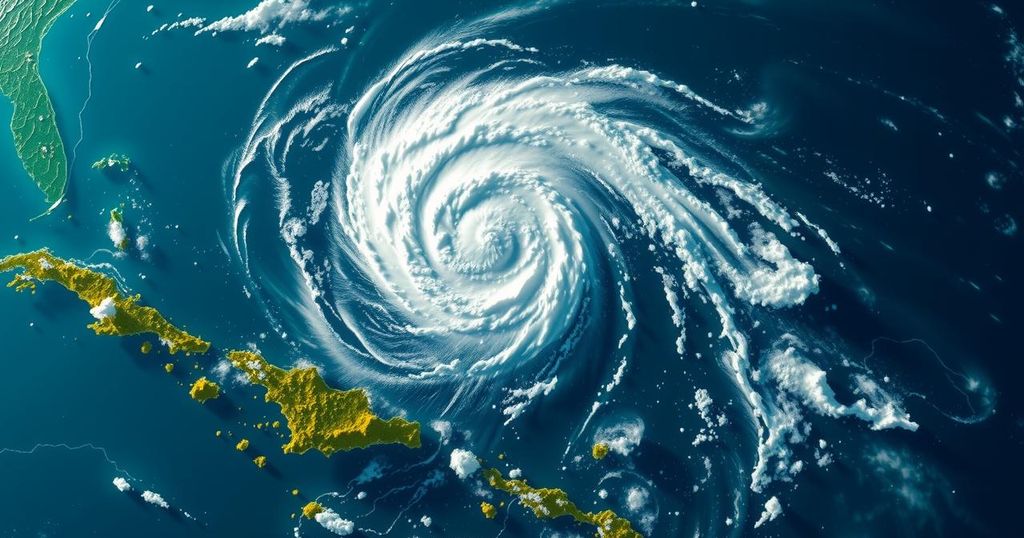
Monitoring the Development of Invest 95L: Potential Impacts in the Caribbean

Invest 95L is a tropical disturbance expected to approach Belize and Yucatán, potentially developing into Tropical Storm Nadine. Its wind speeds may reach 30-35 mph by landfall. Additionally, Invest 94L is forecasted to move through northern Caribbean waters but is unlikely to strengthen. Coastal residents should prepare for possibly hazardous conditions and monitor updates.
Bryan Norcross has reported on the tropical disturbance designated as Invest 95L, which is currently located near the coasts of Nicaragua and Honduras. Forecasts predict that the system will travel westward, skirting the northern coast of Honduras, and ultimately making landfall in Belize and Yucatán, Mexico by early tomorrow morning. Despite the medium chance assigned by the National Hurricane Center for the system to temporarily develop into a tropical depression or tropical storm before landfall, it is anticipated that it will not strengthen significantly. However, it may achieve the status of Tropical Storm Nadine right before it touches land. The strongest winds associated with this disturbance are situated to the north of its center, suggesting that regions north of the predicted landfall area on the Yucatán Peninsula can expect the most impactful winds, currently gauged between 30 to 35 mph, with potential increases prior to landfall. Residents along the northern coastline of Honduras, Belize, and the Mexican state of Quintana Roo, particularly around Chetumal, are advised to remain vigilant as the system may intensify shortly before making landfall. Peak effects are forecast to commence overnight tonight and persist into tomorrow, although breezy conditions will remain along the coast due to a cold front approaching from the north. Furthermore, a separate disturbance identified as Invest 94L is expected to progress through the waters just north of Puerto Rico and the Virgin Islands, heading towards Haiti or the southeastern Bahamas, before being inhibited by adverse upper atmospheric conditions by Sunday. The National Hurricane Center has suggested that Invest 94L has a minimal chance of evolving into a tropical depression before dissipating, as its swift forward motion into a drier atmosphere is preventing structural organization. Nonetheless, it may still bring moisture to the mountainous islands, resulting in potential flooding and mudslides. For the southeastern United States, including Florida, there is no risk posed by either of these systems. As a matter of fact, meteorological forecasts indicate that the jet stream will establish a winter-like pattern across the northern Gulf of Mexico and Florida throughout the remainder of the month, ensuring that the region remains shielded. However, along the Florida East Coast, residents should remain cautious of high tides this weekend due to the ongoing Hunter’s Supermoon, which is causing heightened King Tides. It is strongly advised to avoid driving through any flooding as saltwater can damage vehicles.
Invest 95L is a tropical disturbance that has garnered attention as it moves towards the central Americas, specifically targeting Belize and the Yucatán Peninsula. The National Hurricane Center monitors these disturbances closely, as their paths and strength can dramatically fluctuate, impacting coastal communities. Additionally, the occurrence of certain phenomena, such as the Hunter’s Supermoon leading to King Tides, presents risks of flooding in coastal areas, necessitating public caution and awareness. The meteorological patterns of the region are influenced by broader atmospheric conditions, including the jet stream and upper-level wind patterns, which play a critical role in the development and dissipation of such weather events.
In summary, Invest 95L is presently a tropical disturbance poised to potentially become Tropical Storm Nadine before landfall in Belize and Yucatán tomorrow. While the likelihood of significant strengthening is low, residents in the affected regions should prepare for strong winds and adverse weather conditions. Meanwhile, Invest 94L appears less likely to develop further and poses minimal risks to the southeastern United States. Caution is warranted in Florida’s coastal areas due to heightened tides influenced by the Supermoon effects. Overall, residents should remain informed about these weather developments as changes may occur rapidly.
Original Source: www.foxweather.com


