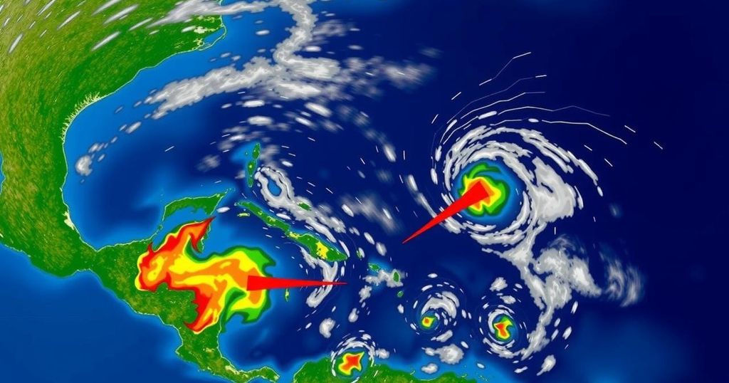
Diminished Probability of Cyclonic Events in the Atlantic as October Winds Down

The tropical Atlantic is experiencing a lull in storm activity following early October’s busy period, with two disturbances, 94L and another near Honduras, showing low chances of development. While heavy rainfall is expected from these systems, the potential for further tropical cyclone formation remains due to the MJO’s influence arriving in November. The North Indian Ocean is also gearing up for its cyclone season, with models predicting activity in the coming days.
The tropical Atlantic has recently experienced a noticeable decrease in activity following a busy early October period, with two tropical disturbances currently under observation; however, their chances of becoming named storms are low. Experts anticipate that Hurricane Milton may be the last named storm of October. Nevertheless, the anticipated arrival of the Madden-Julian Oscillation (MJO) in early November, expected to promote rising air and enhance the likelihood of tropical cyclone formation, indicates that the Atlantic hurricane season for 2024 may not yet be concluded. One disturbance, designated as Invest 94L, is positioned near the northern Leeward Islands and is moving westward at approximately 20 mph. Despite favorable conditions such as minimal wind shear and exceptionally warm ocean temperatures around 30 degrees Celsius (86°F), 94L’s development is hindered by the presence of a dry air mass that restricts thunderstorm activity, along with its rapid forward motion, making it challenging for the upper-level and surface centers to align. Furthermore, 94L faces punitive conditions from the MJO that favors sinking air over the Atlantic, complicating its development prospects. Forecast models express skepticism regarding 94L’s evolution, predicting its dissipation by Sunday, though it may produce significant rainfall across the Leeward Islands, Virgin Islands, Puerto Rico, and the Dominican Republic in the coming days — potentially 1-2 inches (25-50 mm) from Friday to Saturday. The National Hurricane Center has assigned a mere 20% chance of development for the next two days, increasing it to 30% over a week’s time. The next name on the storm list is Nadine. concurrently, another weather disturbance near Honduras is producing heavy rainfall despite its low chance of becoming a tropical cyclone. Set approximately 50 miles off Honduras’s northeast coast, this system is moving northwest with a central pressure of 1007 millibars and is generating a chaotic pattern of showers and thunderstorms. Although models suggest minimal development into a tropical depression or weak storm due to impending landfall in Belize or Mexico, the system is expected to deliver excessive rainfall — possibly exceeding 15-20 inches in certain areas, prompting concerns regarding flash floods and mudslides. As for the North Indian Ocean, it is approaching the cyclone season, characterized by two main cycles centered around May and again in October/November after the monsoon. With the monsoon’s effects subsiding, predictions point to potential cyclone formation in the eastern Bay of Bengal next week, assisted by a promising phase of the MJO. Recent history recalls the devastating impacts of Cyclone Mocha, which struck Myanmar on May 14, 2023, as a category 4 storm, resulting in a tragic death toll and massive financial losses amid the region’s ongoing civil strife.
This article discusses the current status and future predictions regarding tropical disturbances in the Atlantic Ocean and the North Indian Ocean. It highlights the low chances of development for recent disturbances while indicating that atmospheric conditions may still favor cyclone formation in the near future. Additionally, it underscores the impending challenges of flooding related to these disturbances, as well as the active cyclone season in the Indian Ocean, providing historical context with the recent catastrophic events caused by Cyclone Mocha.
In summary, the article provides an overview of the current tropical weather conditions in the Atlantic and North Indian Ocean. The prospects for disturbances 94L and another system near Honduras suggest limited opportunities for development but significant rainfall, raising concerns about flooding. The MJO’s influence in early November may still play a critical role in the Atlantic hurricane season. Attention is also drawn to the upcoming cyclone activity in the North Indian Ocean, with potential impacts on the affected regions, particularly after the recent suffering caused by Cyclone Mocha.
Original Source: yaleclimateconnections.org


