Invest 94L Threat Diminishes: Florida Weather Outlook

Florida residents are relieved as the threat of Invest 94L developing into a significant storm has decreased, allowing them to focus on recovery from previous hurricanes. Gusty winds, cooler temperatures, and some rainfall are expected. The National Hurricane Center forecasts low chances of further development in the Atlantic, with the major concern shifting towards Hispaniola and the northern Caribbean islands. While coastal flooding and beach erosion remain potential risks, the overall outlook for Florida is improving as favorable weather patterns develop.
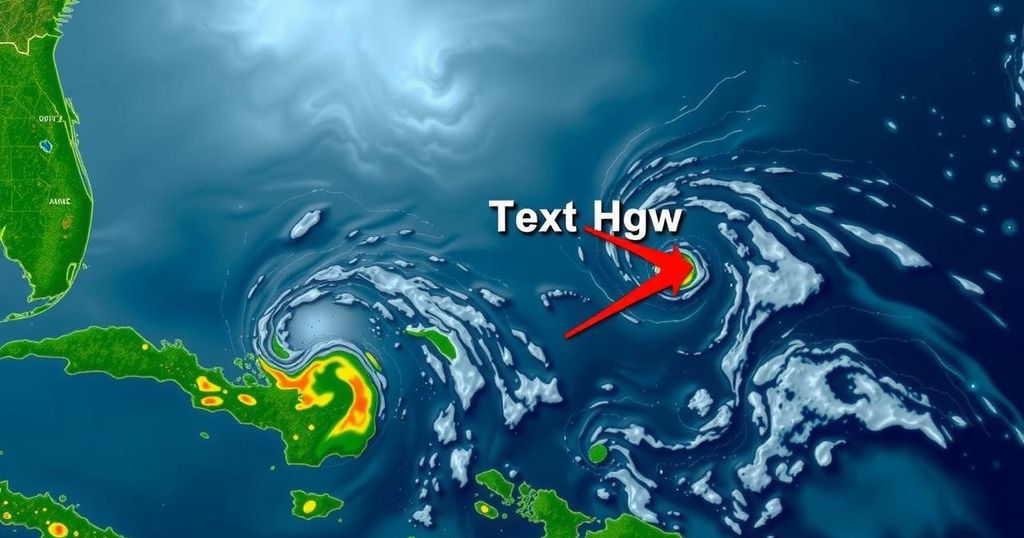
Florida residents are experiencing a sense of relief as the likelihood of Invest 94L developing into a tropical depression or Tropical Storm Nadine has decreased substantially. Those recovering from Hurricanes Helene and Milton can now concentrate on cleanup efforts without the looming concern of an additional storm. Nonetheless, Florida can expect gusty winds, cooler temperatures, and some precipitation in the coming days due to the weather patterns resulting from the storm’s situation. The National Hurricane Center (NHC) has noted that conditions in the Atlantic are currently more favorable than they have been in the past weeks, monitoring two systems with minimal chances of development over the next week. While forecasters had previously predicted that Invest 94L might strengthen into a tropical storm or even a hurricane as it moved through the Caribbean, the focus has now shifted towards potential threats to Hispaniola and the northern Caribbean islands, rather than Florida itself. As of October 17, recent updates confirm that the disturbance associated with Invest 94L remains disorganized, moving westward towards the Virgin Islands and Puerto Rico, before reaching land near Hispaniola and the southeastern Bahamas. Strong upper-level winds are expected to hinder significant development of the system by the end of the weekend. The formation chance is currently assessed at 20 percent for 48 hours and 30 percent over a span of seven days. AccuWeather has classified Invest 94L as a tropical rainstorm. Alex DaSilva, AccuWeather’s Lead Hurricane Expert, stated, “This storm will likely either be shunted away from Florida, forced to lose wind intensity or possibly diminish while attempting to approach the state.” Looking ahead to Florida’s weather, residents should prepare for increased winds, cooler conditions, and periodic showers and thunderstorms due to a large area of high pressure forming over the Eastern United States. This system should mitigate the impact of any tropical disturbances. Cooling temperatures are anticipated to bring the lowest conditions experienced since April and reduce humidity throughout the southeastern states, providing some positive developments for areas still without power from recent storms. However, the strong breezy conditions may lead to rough surf and the potential for coastal flooding and beach erosion, particularly in cities vulnerable to high tides, such as Miami. Brett Anderson, a Senior Meteorologist for AccuWeather, mentioned, “Water levels may surge to 2-3 feet above astronomical levels at times along the Florida Atlantic coast and 1-2 feet above routine levels in coastal areas of Georgia and the Carolinas, where some beach erosion is possible and rough surf is anticipated.” In summary, Florida can expect weather conditions affected by the diminishing threat of Invest 94L. The overall outlook remains positive, yet residents should remain vigilant. AccuWeather notes that residents should prepare for sporadic showers and thundershowers in the coming days, particularly for those involved in recovery and cleanup efforts.
The Atlantic hurricane season runs from June 1 to November 30, with its peak occurring around September 10. Understanding the behavior of tropical systems such as Invest 94L is crucial for coastal residents, as storms can impact their safety and property significantly. As the season progresses, monitoring weather advisories from authoritative sources such as the National Hurricane Center is essential for maintaining preparedness against unforeseen developments. Understanding the patterns of tropical cyclones—like their potential to strengthen or weaken based on environmental conditions—provides valuable insight for forecasting and response strategies.
In conclusion, Florida’s imminent weather forecast appears to be alleviated by the diminishing tropical threat of Invest 94L. Residents are encouraged to remain attentive to evolving weather conditions while focusing on recovery efforts post-storm. Although adverse weather such as gusty winds and showers are expected, significant tropical development threatening Florida at this time seems unlikely. It remains important for Florida residents to stay informed through reliable weather advisories and alerts.
Original Source: www.news-journalonline.com


