
Cyclone Activity Peaks in Southern Hemisphere: February 2025 Overview
In late February 2025, multiple tropical cyclones were observed in both the South Pacific and Indian Ocean. A satellite image captured five active storms, including Tropical Cyclone Rae, which had weakened after impacting Fiji. Meanwhile, Cyclones Alfred, Seru, Honde, and Garance posed varying threats, with expectations for intensified conditions as the cyclone season progressed.
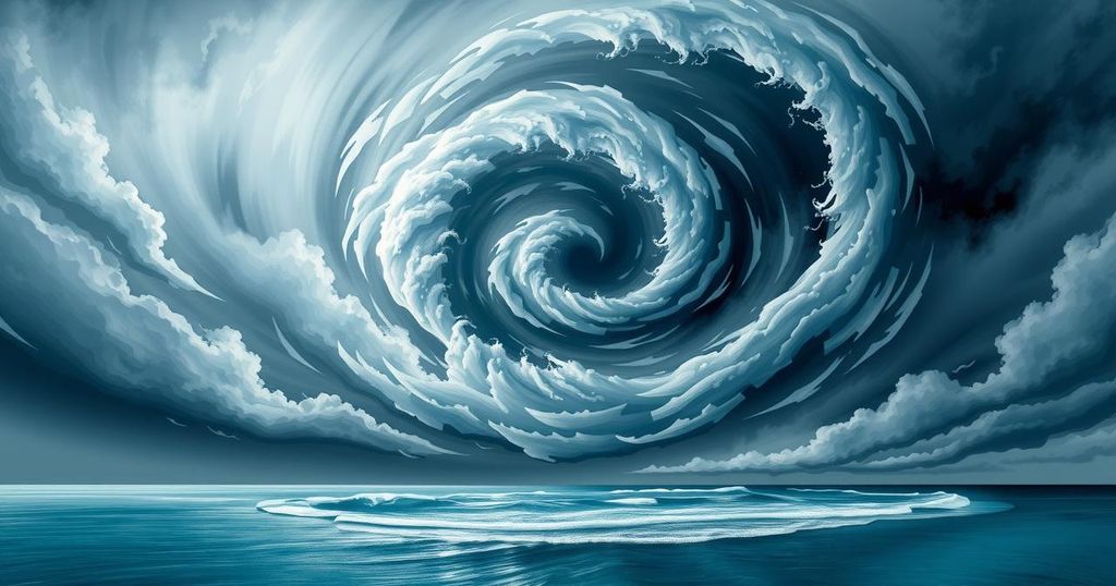
In late February 2025, the South Pacific and Indian Ocean were simultaneously affected by multiple tropical cyclones, a phenomenon that occurs infrequently. A false-color image obtained on February 26 by the NOAA-20 satellite’s VIIRS sensor revealed five active storms, highlighting cooler cloud structures in shades of white and purple against the warmer ocean surface in yellow and orange. Notably, Tropical Cyclone Rae had begun to weaken after delivering heavy rainfall to Fiji a day prior.
Cyclones Alfred and Seru were present in the South Pacific alongside Rae. Seru briefly reached Category 1 strength while remaining offshore of Australia. Meanwhile, Alfred, predicted to remain offshore, was at Category 2 strength but expected to escalate to Category 4, potentially causing hazardous coastal conditions to southern Queensland.
Off Western Australia, Tropical Cyclone Bianca had weakened to tropical storm status while remaining distant from land. Previously, it had intensified to Category 3 but did not jeopardize mainland Australia or nearby islands.
In the Indian Ocean, Cyclones Honde and Garance posed greater threats to land. As Garance approached Mauritius, the island nation closed its airport, anticipating the storm would strengthen from Category 2 to Category 3, with wind speeds reaching 190 kilometers per hour. Concurrently, Honde, a Category 1 storm, was expected to bring severe weather conditions to regions of Madagascar and neighboring islands.
Meteorologists have attributed the high frequency of storms to elevated sea surface temperatures and weak wind shear conditions. A marine heat wave off Western Australia has persisted since September 2024, prompting predictions by the Australian Bureau of Meteorology for a heightened likelihood of severe tropical cyclones this season. The tropical cyclone season typically spans from November to April in the Southern Hemisphere.
In summary, late February 2025 witnessed a remarkable occurrence of tropical cyclones across the South Pacific and Indian Ocean. The simultaneous development of multiple storms was attributed to warm sea surface temperatures and weak wind shear. Increased cyclone activity may pose significant threats to affected regions, highlighting the importance of ongoing meteorological monitoring and preparedness.
Original Source: earthobservatory.nasa.gov


