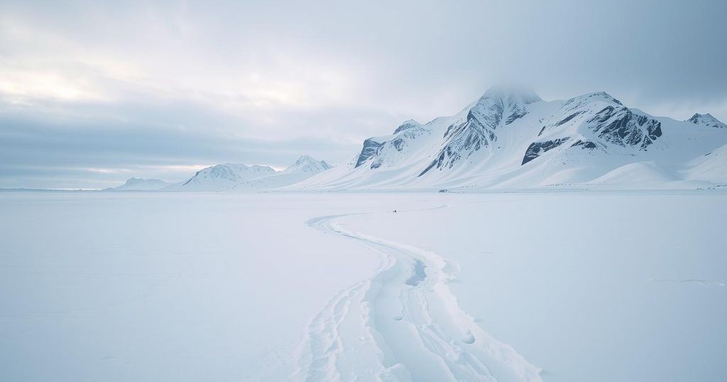
Extreme Cold Weather Advisory for Montana as Arctic Air Impacts the Region

Montana is under a cold weather advisory due to Arctic air bringing extreme temperatures, with lows dropping below zero and wind chills reaching as low as 45 degrees below zero. Light snow is expected in several regions, with a slight warming trend anticipated later in the week but temperatures remaining significantly below normal.
Montana is currently experiencing extreme frigid temperatures due to an influx of Arctic air, resulting in a cold weather advisory effective late tonight and throughout Monday for portions of north central, northeast, and east central areas of the state. Wind chills are anticipated to plummet to as low as 30 degrees below zero in some regions, with current temperatures remaining in the single digits and low teens across central and eastern Montana, although they reach the 20s in the western areas.
Additionally, while winds are generally mild, blowing at less than 10 mph, they still contribute to sub-zero wind chills, particularly in northern Montana. Cloud cover varies from partly to mostly cloudy, with isolated light snow showers occurring in some locations. As the week progresses, particularly during the early days, Montana will face intense cold, notably east of the continental divide, prompting an extreme cold warning for Monday night into Tuesday, predicting wind chills as low as 45 degrees below zero.
Light snow showers are expected to continue into Monday between central, southwest, and southcentral Montana. The forecast indicates a slight warming trend later in the week; however, temperatures will remain significantly below average, with expected lows dropping into the single digits and teens below zero in central and eastern Montana, while western areas may see single-digit lows above zero. Moreover, anticipated high temperatures will range from the low aggregate of single digits, both above and below zero, in central and eastern parts to the 10s in the west.
The severe weather patterns currently affecting Montana are a result of Arctic air masses moving into the region. This leads to notably low temperatures and hazardous wind chills, prompting authorities to issue cold weather advisories and warnings. Understanding meteorological conditions such as wind speeds and atmospheric pressure can provide context for the extent and implications of these extreme weather events throughout the state.
In summary, Montana is bracing for an onslaught of Arctic cold, with significant wind chill factors expected. The National Weather Service has issued advisories for multiple regions, highlighting the severity of the situation. Snow is likely to continue intermittently, but temperatures are projected to stay well below average for the foreseeable future, necessitating careful monitoring by residents and local authorities.
Original Source: www.montanarightnow.com


