
Winter Storm Alert Issued for Virginia: Key Details and Preparations
Virginia is preparing for a significant winter storm affecting conditions from Monday night through Tuesday, with a sequence of snow, sleet, and rain expected. Travel is anticipated to be hazardous, and school closures are likely. Air travel will also be disrupted, urging travelers to consider alternative arrangements. Precipitation could potentially lead to power outages in various regions.
A significant winter storm is forecasted to impact Virginia, initiating on Monday night and continuing through Tuesday. This event will feature a progression of precipitation types, starting with snow, followed by sleet, freezing rain, and finally, rain. The duration of the precipitation is anticipated to last between 18 to 21 hours, extending into Tuesday night and beyond.
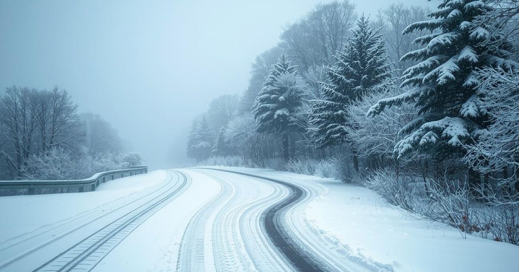
Travel conditions are expected to deteriorate, with slippery roads emerging late Monday night or Tuesday morning. The combination of sleet and freezing rain atop accumulated snow will likely lead to hazardous driving situations. Confidence remains high regarding the arrival of the winter storm, yet it is still premature to ascertain whether snow or ice will prevail in accumulation.
Areas in Southside Virginia, such as Danville, are expected to receive the least amount of wintry weather, while Southwest Virginia, including Bristol, will likely experience more ice than snow. School districts will independently decide on closures, with expectations that several schools may shut down from Tuesday onward. It is prudent for parents and guardians to remain alert for announcements concerning school operations amidst the storm.
Air travel will likely be affected, especially for flights scheduled out of Lynchburg (LYH), Roanoke (ROA), and nearby airports. Travelers with flights on Tuesday should consider rescheduling or modifying their travel plans. For those flying from the region, driving to airports like Charlotte (CLT) or Raleigh-Durham (RDU) could provide an alternative option.
The forecast currently suggests potential snowfall amounts could reach up to 12 inches; however, this is contingent upon temperature fluctuations that may limit snow accumulation. Expected ranges include 3 to 6 inches across Central and Northern Virginia, accompanied by a mix of sleet and freezing rain. Additionally, power outages are common during winter storms, particularly in Southwest Virginia and mountainous areas.
This article discusses an impending winter storm set to affect Virginia, integrating vital weather details necessary for preparation. The winter storm is characterized by a variety of precipitation types and significant duration, which can lead to dangerous travel conditions and disruptions in daily activities, including school closures and air travel delays. An understanding of the forecast enables residents to take appropriate precautions.
In summary, Virginia is bracing for a significant winter storm starting late Monday, bringing various forms of precipitation and hazardous road conditions. Residents should prepare for long-lasting impacts, including potential school closures and travel difficulties. Monitoring updates and being proactive with plans can help mitigate the storm’s disruptions.
Original Source: wset.com


