
Tropical Weather Discussion: Monitoring Developments in the Atlantic
- NHC issues Tropical Weather Discussion focusing on North American weather patterns.
- Invest AL91 could lead to a tropical depression in the Bay of Campeche.
- Heavy rainfall is expected in southeastern Mexico and Central America.
- Tropical waves are moving through the eastern Atlantic, impacting weather conditions.
- Gulf of Mexico experiences moderate winds with expected stable weather conditions.
Recent Developments in Tropical Weather and Movement
Tropical Weather Update Issued by NHC The National Hurricane Center released its latest Tropical Weather Discussion, focusing on North America, Central America, parts of the Caribbean, and some northern areas of South America. This update points out that satellite imagery, weather observations, and radar data have been monitored closely to assess ongoing weather developments. Analyzing conditions from 1200 UTC and continuing through 1800 UTC shows that several significant features are currently influencing the weather in this vast region.
Invest AL91: Potential Threat to Southeastern Mexico
Tropical Depression Likely in Bay of Campeche Among the most pressing matters is the developing situation in the Bay of Campeche, where surface observations and radar data indicate that a well-defined low-pressure area is forming near the Mexican coast. As thunderstorms and showers begin to organize, meteorologists anticipate that a tropical depression could form as early as this afternoon. This system is expected to move west-northwest toward eastern Mexico over the weekend, reaching inland by Monday, prompting potential Tropical Storm Watches and Warnings along the Gulf coast of Mexico.
Flood Warning and Rainfall Forecasts in Affected Areas
Heavy Rains and Flood Risks Predicted Regardless of the formation of a tropical cyclone, heavy rainfall is a concern for areas including Belize, Guatemala, and southeastern Mexico in the coming days. Particularly, the Mexican states of Veracruz, San Luis Potosi, and Tamaulipas are forecasted to experience the brunt of this rain, increasing the risk of flash flooding and mudslides, especially in regions with hilly terrain. Local meteorological services are urged to provide updates on flood risks and heavy rainfall advisories as developments continue to unfold throughout the region.
Observations on Tropical Waves and Circulations
Tropical Waves and Current Conditions Across the Atlantic, the Tropical Weather Discussion also highlighted a tropical wave moving through the eastern Atlantic. An east Atlantic tropical wave located along 25W is advancing at a pace of about 5-10 knots. Further waves along 47W and across the Lesser Antilles are being monitored, with some scattered convection observed in the Leeward Islands. This weather is under the influence of the monsoon trough, which is located from Dakar, Senegal to 08N28W, contributing to scattered shower activity in the vicinity.
Current Conditions in Gulf of Mexico and Effects
Gulf of Mexico: Winds and Weather Patterns Meanwhile, the Gulf of America is feeling the impact of this developing system, with moderate to fresh easterly winds creating sea conditions of 3-5 feet. Outside of the Bay of Campeche, a surface ridge is maintaining stability across the northern Gulf waters as we head into next week. Again, for the affected southwestern Mexican region, expect heavy rains as these systems set their course, indicating an ongoing and complex weather scenario developing over the area.
Caribbean Weather Patterns and Sailing Conditions
Forecast Implications for the Caribbean Sea The Caribbean is also experiencing a tight pressure gradient due to the combination of high pressure in the subtropical Atlantic and lower pressure in northwest Colombia. There is a regime of strong trades across the south-central Caribbean, particularly off Colombia, where seas are notably rough. Fresh winds are appearing in various areas, including the Windward Passage. Expect this pattern to continue, with warnings for gale-force winds and challenging sea conditions in parts of the region up until early next week.
High Pressure Effects on Atlantic Weather Patterns
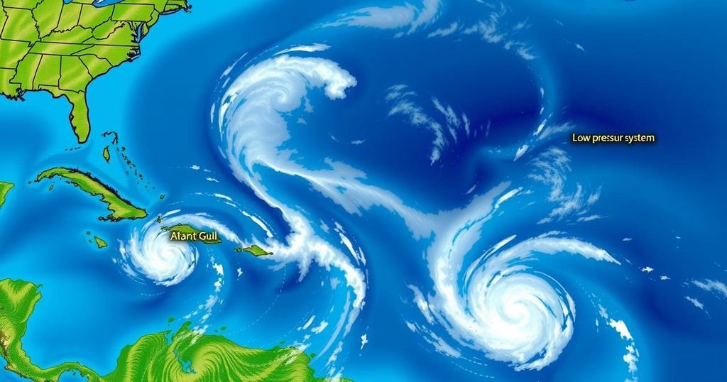
General Overview of Atlantic Conditions Finally, in the broader context of the Atlantic, two high-pressure systems are dominating. One is centered near 29N74W and the other at 28N45W. These combined forces are maintaining moderate wind patterns and creating relatively calm seas overall. Nevertheless, southern parts may experience fresh trade winds, particularly in the afternoons and into the night. Overall, a comprehensive watch for tropical developments continues, and the Bermuda High will influence weather across the region well into next week.
Final Thoughts on Ongoing Weather Monitoring
Reports Highlight Emergent Weather Changes Additionally, all spectators and residents along the forecasted trajectory of the tropical depression should stay informed. Weather patterns are unstable, and the changing atmospheric conditions mean that forecasts can fluctuate, rapidly altering expectations. Collaboration with local meteorology teams will be essential in the upcoming days to ensure safety and preparedness as these interactions occur across the Atlantic, Gulf, and Caribbean regions.
In summary, the National Hurricane Center’s latest Tropical Weather Discussion brings attention to the developing low-pressure system in the Bay of Campeche, where a tropical depression could soon form. The implications of heavy rainfall and flood threats across southeastern Mexico, Belize, and Guatemala remain a critical focus. High-pressure systems are currently observed across the Atlantic, affecting prevailing weather patterns, emphasizing the need for vigilance in weather monitoring.


