
Heavy Snow Expected This Weekend in Glacier Park, Montana
Glacier Park in Montana will see heavy snow this weekend due to an incoming low-pressure system, following a warm spring day across the state. A winter storm watch is in effect, predicting substantial snowfall for higher elevations. Meanwhile, temperatures are set to drop significantly after a warm Saturday.
This weekend, Glacier Park in Montana is gearing up for significant snowfall. Today’s weather saw temperatures soar into the mid 70s and high 80s across the state. Skies were predominantly clear apart from scattered thunderstorms in the far northeast near the Canada and North Dakota border, coupled with winds at 5 to 15 mph. It’s been quite the spring day — warm and pleasant, largely thanks to a high-pressure system in place.
However, that lovely weather is about to change. Starting tomorrow, a moist southwest air flow will sweep into Montana, bringing afternoon thunderstorms, particularly in the southwestern regions where some could potentially be severe. On Friday, the whole state can expect showers and stronger storms as the system moves through.
A low-pressure trough from Seattle is projected to impact Montana this weekend. Saturday will see temperatures dropping significantly in the western parts of the state, with a statewide cool down anticipated by Sunday. This means heavy snow is on the forecast for Glacier National Park, so travelers should be prepared.
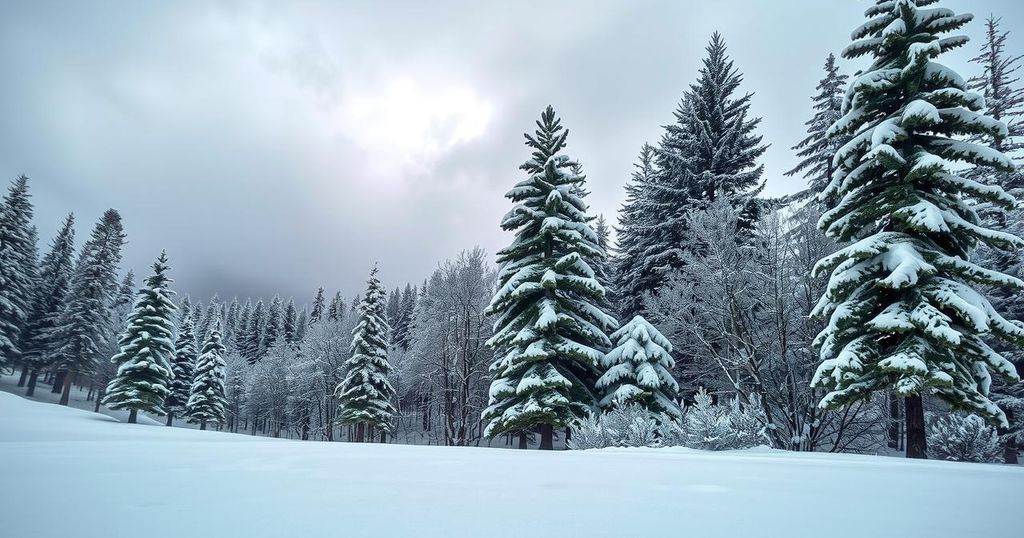
Specifically, a winter storm watch has been issued from Saturday afternoon through Sunday morning for Glacier Park, warning of possible snowfall totaling up to a foot at altitude, especially above 6000 feet, which includes areas like Logan Pass. Snow levels will drop lower, as there could be about four inches recorded down to around 4000 feet. Moreover, the northwest Montana region may experience heavy rain, with expected rainfall totals between two to four inches in areas such as Flathead and Lincoln Counties.
As for the immediate conditions, tonight’s lows are set to dip into the upper 40s and 50s, with tomorrow’s peaks reaching the mid 80s to mid 90s. However, residents and visitors should brace for a drastic change as Sunday’s highs are only expected in the 50s and 60s.
In summary, Montana is poised for a drastic weather transformation this weekend, with warm temperatures giving way to significant snowfall in Glacier Park. The winter storm watch highlights the potential impact on travelers, particularly at higher elevations. Those in the region should stay informed and prepared for rapidly changing conditions.
Original Source: www.montanarightnow.com


