Southern Colorado Starts June with Warmth and Evening Storms

Southern Colorado enters June with 80s temperatures, but storms are on the way tonight. Individual forecasts for cities like Colorado Springs, Pueblo, and Canon City show mild weather and storm potential. Starting tomorrow, cooler temperatures and increased storm activity are expected, especially early next week with flooding risks. The weather could stabilize later this week as temperatures rebound.
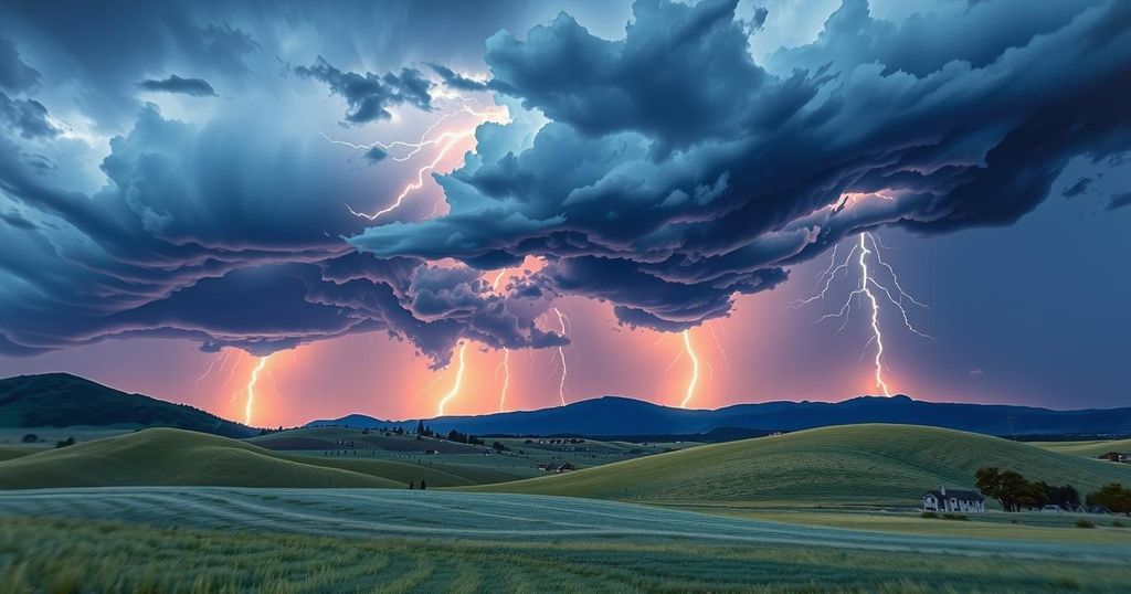
June has kicked off in southern Colorado with temperatures soaring into the 80s, but those pleasant conditions come with a side of evening storms. Tonight, the forecast indicates that storms will be moving off the mountains for the next few hours. Some of these storms are expected to pack a punch, bringing gusty winds and possibly some hail, with sizes reaching up to 1 inch in diameter. These storms will develop quickly, producing heavy rain, lightning, and hail over a short timeframe before dissipating somewhat rapidly.
By midnight, the storms should move southeast, exiting the state and weakening after sunset. Once the storms clear out, residents can expect a mild and quiet evening, with lows dipping into the upper 40s to low 50s.
Looking specifically at individual forecasts, Colorado Springs is projected to have a low of 52°F and a high around 82°F. Conditions will mostly be cloudy through the evening before skies begin to clear overnight, reminiscent of Friday night’s weather. Light northeast winds will be felt early, becoming variable later on.
In Pueblo, the forecast shows similar conditions with a low of 55°F and a high of 89°F. The evening will be mostly cloudy and mild until midnight when the skies will begin to clear. Like Colorado Springs, light northeast winds at 5-10 mph will shift to variable overnight.
Canon City is seeing pretty much the same outlook, with temperatures ranging from a low of 55°F to a high of 87°F, and a cloudy evening leading to clearing after midnight. Woodland Park’s forecast is a bit cooler, with lows at 44°F and highs reaching 75°F. They might experience cloud coverage until about 10 PM before the skies clear.
Tri-Lakes is expected to have a range of lows in the 40s with highs in the 70s, with partly cloudy conditions transitioning to mostly clear after midnight. The eastern plains can expect lows in the 50s and highs in the 80s, along with some light haze from Canadian wildfire smoke mixed into the forecast.
Walsenburg and Trinidad will see lows around 52/53°F and highs between 82/84°F. Their evening will also experience some cloud cover transitioning to partly cloudy conditions after 1 AM, with thunderstorms expected before 11 PM. The mountains have a similar outlook, including mostly cloudy skies with isolated showers and thunderstorms, clearing after midnight.
For tomorrow’s extended outlook, a light haze due to wildfire smoke will persist in the sky, especially in the central plains. This haze might dip down to ground level as the day unfolds. Expect another warm day in the low 80s, with the possibility of isolated storms forming in the mountains around 2 PM, likely to drift towards I-25 in the late afternoon.
Next week seems quite unpredictable, as wetter and cooler weather returns, especially on Monday. That day, Post-Tropical Storm Alvin is predicted to merge with another low-pressure system from southern California, aiming for the Great Basin. Additionally, a Pacific Northwest cold front will sweep through, bringing moisture from the Gulf. Heavy rains with thunderstorms may become significant, especially by Tuesday morning, raising concerns about isolated flooding mainly north of U.S. 50.
By Wednesday, more storm activity is expected as weather systems continue to shift through the region. However, conditions are expected to become less stormy on Thursday as upper-level energy dwindles, while still maintaining some moisture in the mountains. Temperatures are likely to plummet, dropping about 20 degrees below average early next week because of cloud cover and persistent rain. Good news is that by the end of the week, warmer temperatures should start to rebound, hopefully clearing the dreariness.
Additionally, if you’re wondering about the First Alert 5 Weather Storm Impact Scale, you can check out our handy explainer. And, for those who want to catch up on the latest weather updates, our KOAA News5 streaming app is available on Roku, FireTV, AppleTV, and Android TV. Search for KOAA News5, download it, and start streaming at your convenience!
Overall, southern Colorado can expect a mixed bag of weather with warming temperatures in the 80s followed by isolated storms tonight. While the storms are likely to bring heavy rain and potential hail, conditions will settle down into a mild evening. Looking ahead, a significant weather shift is expected next week, bringing much cooler temps and increased storm activity, particularly on Monday and Tuesday. The situation will need to be monitored for flooding risks due to heavy rainfall. In the coming days, overall weather patterns and temperatures are anticipated to fluctuate, dropping below average early next week but recovering toward the end.
Original Source: www.koaa.com


