
Australia’s Cyclone Season: Key Facts and Safety Measures
This cyclone season sees increased activity with several significant storms impacting Australia. Notably, Storm Sean in January and Storm Zelia in February made headlines. These tropical systems form under specific oceanic conditions, with their naming and categorization being critical for understanding their impact and safety measures required.
This year’s cyclone season has proven to be one of the busiest in a while, with significant events grabbing headlines. Severe Tropical Cyclone Sean, for instance, struck the Pilbara coast in January, bringing record rainfall and strong winds. February saw Severe Tropical Cyclone Zelia raising alarms in northern Western Australia. March brought Tropical Cyclone Alfred, which caused disruption in Queensland and New South Wales. Finally, in April, Ex-Tropical Cyclone Errol, a Category 4 system while out at sea, crossed over the Kimberley as a tropical low.
On average, Australia typically experiences around 11 tropical cyclones annually, with four expected to make landfall this year. These storms mainly develop between November and April, particularly in regions north of Exmouth on the Western Australian coast, throughout the Top End, and north of Brisbane on the eastern side. Winter months? Well, that’s not when you will see these storms—they are a summer phenomenon down under.
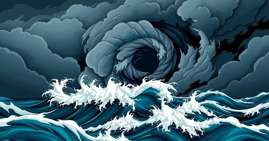
Cyclones have a very particular need when forming. The ocean temperature has to hit at least 26.5°C, which keeps these storms in the tropical waters. As water evaporates, it forms clouds; low air pressure can lead to those clouds beginning to spin. For a cyclone to grow in intensity, humid air is essential as it fuels the energy needed to generate strong winds.
To officially be called a cyclone, sustained wind speeds must reach no less than 119 kilometers per hour. The calm eye of the cyclone, around 40 kilometers wide, is characterized by low winds and no precipitation due to sinking cool air. When moving over land or cooler waters, cyclones tend to lose their power and energy, which is essential for their formation and continued strength. Historically, these systems tend to linger around for about a week.
When it comes to naming these phenomena, the Bureau of Meteorology has a systematic approach. They utilize a predetermined list, alternating male and female names, progressing alphabetically. Once a cyclone earns a really bad reputation, its name does not see the light of day again—meaning we will not have another Tracy anytime soon.
Cyclones are categorized by their strength, with a scale ranging from Category 1 to Category 5. The weakest Category 1 cyclones can have wind speeds reaching 125 kilometers per hour and ocean swells of around 1.6 meters, potentially harming trees and farms. In contrast, Category 5 systems pose severe threats with wind speeds exceeding 280 kilometers per hour, swells above 5.5 meters, and the potential to destroy buildings entirely. The other categories—2, 3, and 4—provide a breakdown of wind speed, swell height, and potential damage.
For those in cyclone-prone areas, it is imperative to know the safety protocols. This means boarding up windows, securing loose outdoor items, and turning off utilities. When advised, seeking shelter or evacuation is crucial for safety.
In summary, this cyclone season has been particularly active, marked by several significant storm events. Understanding the mechanisms of cyclone formation, naming conventions, and safety measures is essential for communities in affected regions. With proper awareness and preparedness, individuals can better navigate the risks posed by these powerful weather systems.
Original Source: particle.scitech.org.au


