
Upcoming Storm System to Bring Rain and Snow to Southern Montana
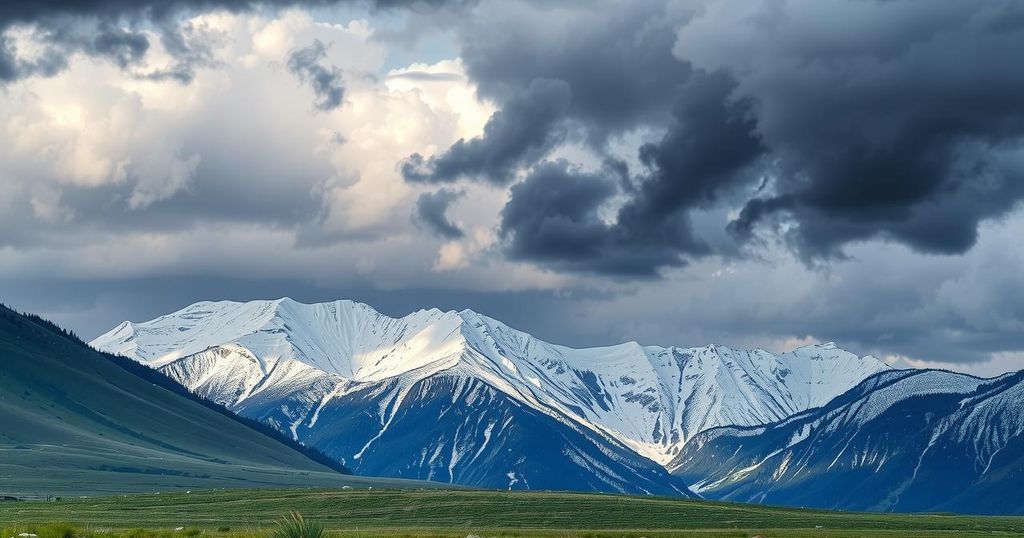
Southern Montana will be impacted by a storm system bringing rain and snow, particularly from Bozeman eastward. Temperatures were previously recorded in the 50s today, with lows expected in the upper 20s and 30s tonight and highs rising to the 50s and 60s over the weekend.
In southern Montana, a storm system is predicted to bring significant changes to the weather conditions. Today’s temperatures hovered in the 50s, aligning closely with seasonal norms, yet displaying a notable increase of 4 to 9 degrees compared to the previous day. Overall, the sky exhibited clear to partly cloudy traits with isolated showers primarily observed around Monida Pass in southwest Montana.
The anticipated storm is expected to initiate from Wyoming, resulting in heightened easterly winds from Thursday through Friday. The bulk of the precipitation, including both rain and snow, will reportedly affect areas from Bozeman eastward, while northern Montana is expected to remain dry throughout this period.
Tonight, low temperatures are projected to settle in the upper 20s and 30s. Tomorrow’s highs are expected to reach the upper 40s in the southwest, particularly around Bozeman where rain is forecasted, and up to the 50s and 60s in other regions. By Friday and into the weekend, higher temperatures in the 50s and 60s will become prevalent, with some areas potentially experiencing lower 70s.
In summary, southern Montana will experience a significant weather shift due to an impending storm system from Wyoming. Rain and snow are primarily projected for the eastern regions, while northern areas may remain unaffected. Overall, temperatures will experience a warming trend as the weekend approaches, offering a brief reprieve from the colder conditions.
Original Source: www.montanarightnow.com


