
Exploring Waza National Park: A UNESCO Heritage Site in Cameroon
The Copernicus Sentinel-2 mission reveals Waza National Park in northern Cameroon, a UNESCO World Heritage site, rich in biodiversity. Covering 1,700 sq km and bordered by Chad and Nigeria, the park supports various wildlife. The surrounding Logone floodplain plays a crucial role in the local ecosystem, influenced by seasonal flooding, which impacts agriculture and fishing for over 100,000 residents.
The Copernicus Sentinel-2 mission provides a remarkable view of Waza National Park, located in the northern region of Cameroon. This park borders Chad to the east and Nigeria to the west, covering an expansive area of 1,700 square kilometers, and lies approximately 10 kilometers from each international boundary.
Waza National Park, noted for being Cameroon’s most diverse wildlife reserve, is home to a variety of species, including lions, elephants, and numerous birds. In 1979, it was designated as a UNESCO World Heritage biosphere reserve, highlighting its ecological significance. The park can be identified on the left side of the green area at the bottom of the image.
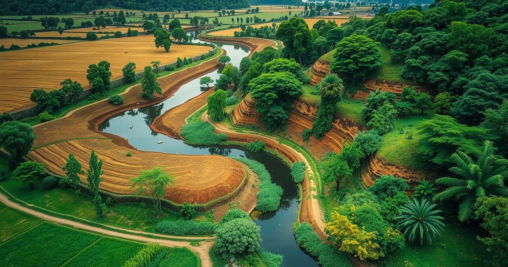
Adjacent to the park lies the town of Waza, recognizable as a small yellowish area bordered by green vegetation. The surrounding region includes the Logone floodplain, part of the Lake Chad basin, characterized by seasonal flooding of the Logone River, which flows along the border with Chad. The river appears as a winding brown line in the image, contributing to the area’s lush greenery.
The local ecosystem is significantly influenced by dry and wet seasons. The rainy season, from mid-May to mid-October, transforms the area into a temporary wetland, promoting the growth of grasses and seasonal water bodies. Over 100,000 inhabitants in the vicinity depend on the flood cycle for fishing, grazing, and agriculture, with visible agricultural patches present in the imagery.
This imagery, captured in November 2024, depicts the region post-flood, showcasing green and fertile lands. Signs of the impending dry season are apparent, revealing shifts in vegetation as natural areas contrast against post-harvest stubble and fallow fields, which appear brown. The Chari River, a significant tributary of Lake Chad, is visible on the right, merging with the Logone River to flow into Lake Chad. The capital of Chad, N’Djamena, appears as a large gray area in the upper portion of the image, situated at their confluence.
The Waza National Park, captured by the Copernicus Sentinel-2 mission, is a vital ecological zone illustrating the intricate relationship between wildlife and seasonal flooding. It stands out as a UNESCO World Heritage biosphere reserve, supporting diverse species and sustaining local human populations through agriculture and fishing. The imagery showcases the region’s lush environment during the transitional phase leading to the dry season, underlining the importance of seasonal cycles in the area.
Original Source: www.esa.int


