Heavy Mountain Snow Forecast for Montana through Tuesday

Montana is expecting heavy snowfall from tonight through Tuesday, affecting various mountainous regions and leading to difficult travel conditions. A Winter Storm Warning is in effect with significant snow accumulations expected, and an Avalanche Warning is issued for certain areas. Seasonal temperatures will return later in the week.
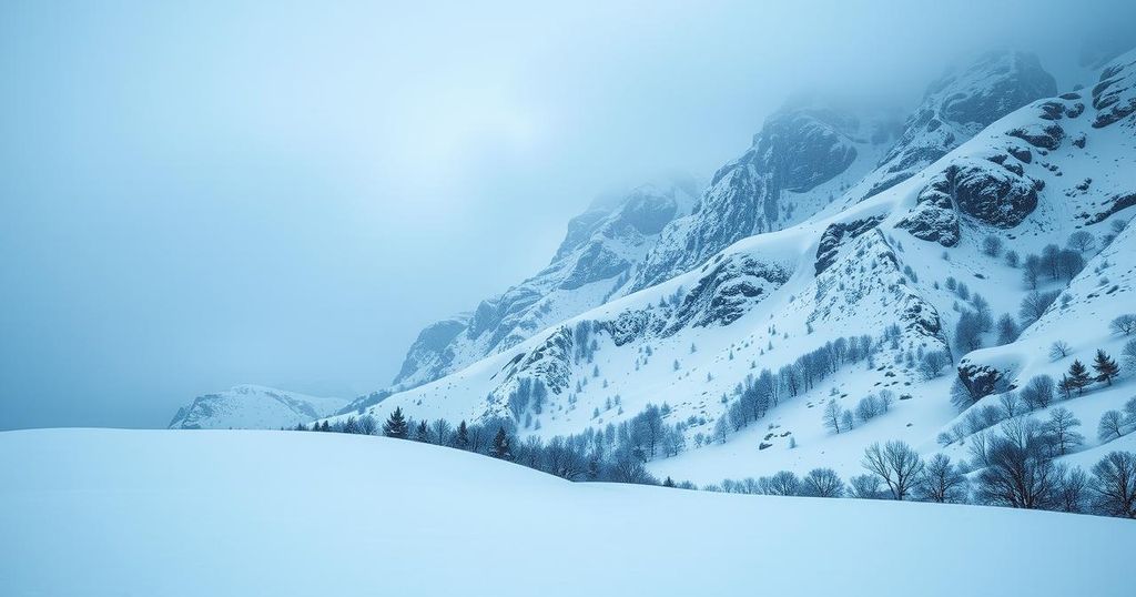
In Montana, heavy snow is anticipated to develop tonight and continue through Tuesday, affecting regions near the Beartooth/Absarokas, Bighorn, and Pryor mountains, as well as parts of southern Rosebud, Powder River, Custer, and Big Horn Counties. A Winter Storm Warning has been issued for these areas, with projections of 4 to 8 inches of snow in southeastern Montana, and between 8 to 24 inches in the mountains.
Precipitation is expected to begin as rain before switching to snow, accompanied by increasing winds from the north and northeast. This weather pattern will contribute to significant blowing snow and reduced visibility at times. Travelers are advised to check the latest road conditions utilizing the MDT’s 511 map, as difficult travel is predicted on roads outside the foothills.
Additionally, an Avalanche Warning has been triggered for the mountains surrounding Cooke City and the Lionhead area near West Yellowstone. This warning is in effect due to heavy snowfall and gusty winds affecting a weak snowpack, and will last until Tuesday morning. Following this weather system, seasonal temperatures are expected to return, ranging in the 40s and 50s for the remainder of the week.
The impending winter weather in Montana includes heavy snow and a potential for difficult travel conditions due to blowing snow and reduced visibility. Residents in affected areas should remain vigilant and stay updated through official channels. An Avalanche Warning is also in effect for certain mountainous regions, emphasizing the need for caution. The forecast suggests a return to more moderate temperatures by the week’s end, indicating a temporary adjustment in weather conditions after the snowfall.
Original Source: www.kulr8.com


