
Severe Storm Threatens the Midwest with Record Winds and Severe Weather
A powerful storm is set to impact the Midwest, bringing potentially record-breaking winds and severe weather. The storm will originate from the Pacific, affecting various states with wind gusts exceeding 50 mph, rain, and areas of snow. Potential flooding in the Northeast may occur due to heavy rain coinciding with existing snowpack.
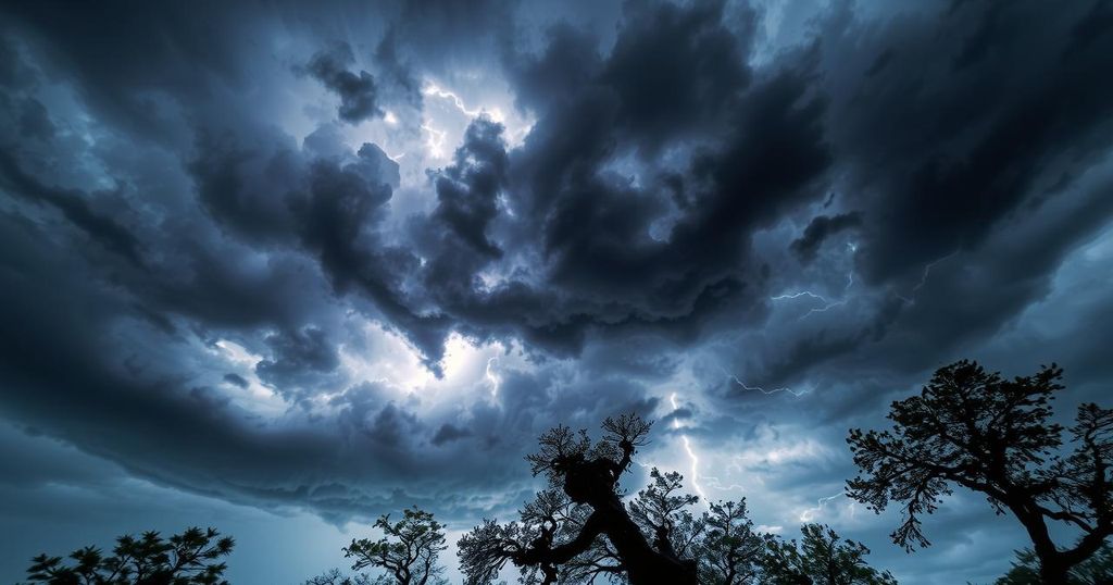
A potent storm is poised to impact the Midwest, potentially leading to severe weather events and breaking atmospheric pressure records. Predictions from the FOX Forecast Center indicate that wind gusts exceeding 50 mph may affect nearly every state east of the Rocky Mountains. Furthermore, the storm’s northern flank may deliver damaging winds, rain, and snow amidst its progression.
The storm is anticipated to commence on Sunday as it moves off the Pacific into California, where it will bring light rain and mountain snow. Precipitation accumulations are expected to remain modest initially, with no flooding concerns foreseen. However, the Sierra Nevada could receive over a foot of snow, addressing the current snowpack deficit.
As the storm advances on Monday, further precipitation in the Intermountain West will occur, particularly rain in Salt Lake City. Unfortunately, this area will not benefit from the snow expected in Flagstaff, Arizona, which is already significantly below average in snow accumulation. Only minimal snow is predicted for Flagstaff amidst a warmer temperature forecast.
On Tuesday, while the southern areas face a potential severe weather outbreak, the northern region could experience significant impacts as the storm moves into the Plains. Snowfall is anticipated in Denver, with potential for snow across cities like Omaha, Des Moines, Chicago, and Milwaukee. However, the snow forecast remains uncertain due to insufficient cold air in eastern Colorado.
The winds, in particular, will intensify with pressure readings forecast to drop below 980 millibars, raising concerns of record-low atmospheric pressures in states such as Missouri, Illinois, and Iowa. According to the FOX Forecast Center, winds of this strength could result in hazardous conditions, particularly for high-profile vehicles, possibly leading to power outages and fallen trees and power lines.
Furthermore, as the storm continues into the Midwest and Northeast on Wednesday, high winds combined with heavy rain may create dangerous conditions. The combination of precipitation on a saturated snowpack raises the specter of flooding in various Northeast areas, necessitating heightened vigilance from residents and authorities alike.
In summary, a significant storm is set to impact the Midwest, bringing a variety of severe weather threats, including strong winds, rain, and snow. With predictions highlighting gusts exceeding 50 mph and the potential for record-low atmospheric pressures, affected areas should prepare for hazardous conditions. Citizens are urged to remain informed and to be vigilant regarding severe weather alerts as the storm develops.
Original Source: www.foxweather.com


