
Montana Faces Severe Winter Storm with Extreme Cold and Snowfall
Montana is under a major winter storm impact, with heavy snowfall and extreme cold temperatures affecting central and western regions. A winter weather advisory and storm warning are in place, with wind chills reaching dangerously low levels. Warmer temperatures are expected by the weekend, providing relief as conditions improve.
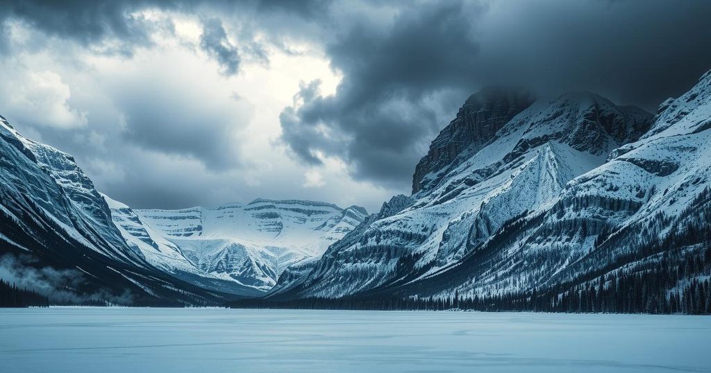
Montana is currently experiencing a severe winter storm that is affecting central and western regions with heavy snowfall and dangerously low temperatures. The storm is projected to persist until early Tuesday, impacting areas extending from Havre to Miles City.
A winter weather advisory remains in effect until Monday for certain regions, including Bozeman and Kalispell, with forecasts predicting an additional two to seven inches of snow. Conversely, a winter storm warning is in place through Tuesday morning for a larger area that includes Missoula, Billings, Livingston, Cut Bank, Great Falls, Helena, and Butte, where accumulations could exceed a foot in some areas.
Temperatures in Montana have plummeted to frigid levels, with many regions experiencing readings below and above zero, particularly in central and eastern Montana, where the single digits prevail. The western regions are slightly milder, with temperatures in the 10s and 20s. Harsh wind chills are reported, particularly in Glasgow and Glendive, reaching 20s below zero.
An arctic cold front is currently influencing the state, creating brutal wind chills from Kalispell to Livingston and throughout northwest Montana. In some locations, wind chills have dropped as low as 50 degrees below zero.
Despite these severe conditions, there is optimism in the forecast, as significantly warmer temperatures are anticipated by the weekend, particularly in areas east of the divide that have experienced the most extreme cold.
Tonight, temperatures are expected to dip into the 10s and 20s below zero in north central and eastern Montana, while western regions will register lows in the 10s and lower 20s above zero. Tomorrow’s highs are predicted to range from single digits and 10s below zero in eastern areas to 20s and 30s in the western and southwestern regions. By the end of the week, temperatures are expected to rise to the 30s and 40s.
In summary, Montana is facing a significant winter storm with heavy snowfall and extreme cold temperatures. A winter storm warning and advisory are issued for affected regions, leading to harsh wind chills in various areas. However, a warming trend is expected to begin by the weekend, bringing relief to the affected populations as temperatures begin to rise.
Original Source: www.kulr8.com


