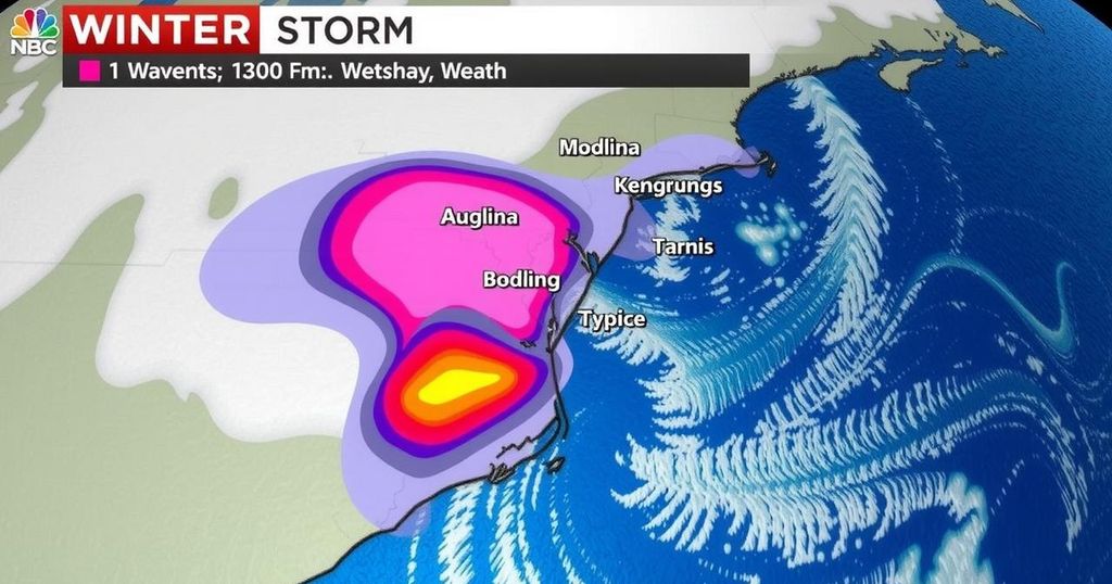
Winter Storm Expected to Impact the Carolinas This Friday

A winter storm is expected to affect the Carolinas late Friday, bringing a wintry mix of precipitation. While minimal snow or sleet accumulation is anticipated, ice totals may reach up to 0.15″ inland. Residents should prepare for slippery road conditions, especially west of I-95, and monitor weather updates for any changes to the forecast.
The National Weather Service advises residents of the Carolinas to prepare for a winter storm anticipated to arrive on Friday. While the overall conditions have not shifted significantly since the previous update, the likelihood of ice accumulation has slightly increased, especially for areas inland. Precipitation will commence mid to late Friday afternoon, transitioning from a mixture of snow and sleet to freezing rain, predominantly affecting regions west of I-95.
Initial precipitation may evaporate due to dry air, but as temperatures drop, the evolution into a wintry mix is expected. The transition from frozen precipitation to rain will occur gradually, impacting areas differently. By daybreak, any lingering rain will dissipate, giving way to clearer skies for the day ahead.
Accumulation predictions indicate minimal snow or sleet inland, with ice totals between 0.05″ to 0.15″ likely along the route from Lumberton to Dillon through Sumter. There is no forecasted ice accumulation for the Grand Strand, although residents must remain vigilant for potentially slick surfaces on roads and bridges. Some isolated power outages may occur, particularly inland.
As the storm approaches, meteorologists will continue to monitor temperature trends and track any changes in the storm’s path to adjust forecasts accordingly. Authorities remain confident that no substantial snow or ice event is likely to impact the Carolinas.
As winter weather grips parts of the southern United States, the Carolinas prepare for a possible storm that follows a pattern of winter precipitation events. Understanding the types of winter precipitation—such as snow, sleet, and freezing rain—is essential for residents. This storm follows a trend observed in previous weather patterns, where cold air and moisture converge to create complex weather scenarios. Keeping abreast of weather advisories is critical for safety and preparedness.
In summary, the Carolinas are set to experience a winter storm beginning on Friday, characterized by a transition from dry air to a mixed wintry precipitation. Residents should remain cautious of icy conditions, primarily inland, and be prepared for potential travel disruptions. Monitoring weather updates is advisable as minor adjustments in the forecast could occur as the storm unfolds.
Original Source: wpde.com


