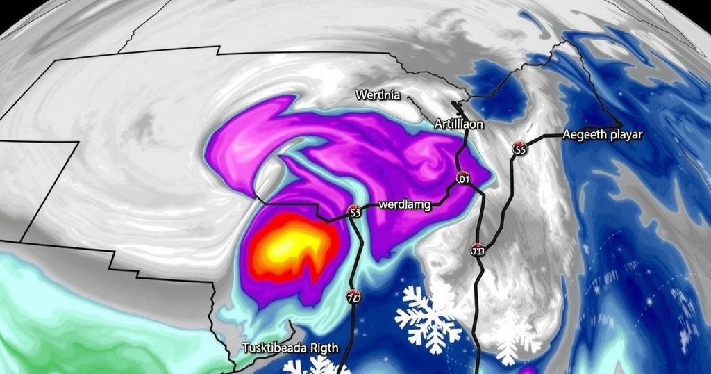
Virginia Braces for Major Winter Storm This Weekend

Virginia is expecting a significant winter storm from late Sunday to Monday, potentially bringing a mix of snow, sleet, and rain. Snow accumulations will occur before transitioning to freezing rain and plain rain in southern areas, while hazardous conditions are anticipated on untreated surfaces due to icy glaze and fluctuating temperatures throughout the week.
A significant winter storm is anticipated to affect Virginia late Sunday into Monday, prompting the issuance of winter storm watches for central and northern regions of the state. It is expected that these watches may be upgraded to winter weather advisories or warnings by Sunday evening. Snow is forecasted to begin falling in the region Sunday evening, though initial flurries may evaporate due to dry air before reaching the ground. Snow is expected to accumulate by mid to late evening and persist through midnight.
As warmer air begins to infiltrate the area, the snow will transition into sleet, producing a mix of snow and ice accumulation overnight into Monday morning. With the further advancement of this warm air, freezing rain may develop, where rainfall, upon contact with freezing surfaces, congeals into ice. Anticipated warming on Monday may shift the precipitation to standard rain for metro areas and locations southward, while northern regions, particularly areas north of I-64, may continue to experience snow and wintry mixes.
The storm system is projected to move eastward by late Monday, causing a return to snow as cold air wraps around the system. The total snowfall is contingent upon the storm’s exact path, which is currently located across the western and central United States. A mere 50-mile shift in the storm track could alter precipitation outcomes significantly. Forecasts suggest snow and sleet accumulations overnight, with freezing rain capable of melting some of the snow, while leaving an icy film on untreated surfaces.
Temperatures in metro areas are expected to rise above freezing on Monday, yet subsequent snowfall may still add to the accumulation totals. It is necessary to recognize that some of these totals may represent accumulations across varying phases of precipitation. Conditions may remain treacherous on untreated surfaces into Tuesday, with the remainder of the week forecasted for dry weather; however, daytime temperatures are not projected to exceed freezing, leading to a potential thaw/freeze cycle throughout the week.
The article addresses an impending winter storm threatening Virginia, detailing the various forms of precipitation likely to occur due to shifts in temperature and moisture. It outlines the various advisories that will be established as the situation develops and emphasizes the importance of understanding the potential hazards including ice and snow accumulation. This timely information is crucial for residents as they prepare for changing weather conditions and possible travel disruptions.
In summary, Virginia will experience significant winter weather beginning late Sunday, marked by a mix of snow, sleet, and rain. Residents should prepare for hazardous conditions, particularly through untreated surfaces, while remaining informed of potential advisories and evolving storm tracks. The uncertainty surrounding the storm’s path underscores the importance of continuous updates and preparedness as winter conditions persist through the following week.
Original Source: www.wtvr.com


