Winter Weather Advisory in Effect Across Montana with Snow and Cold Temperatures

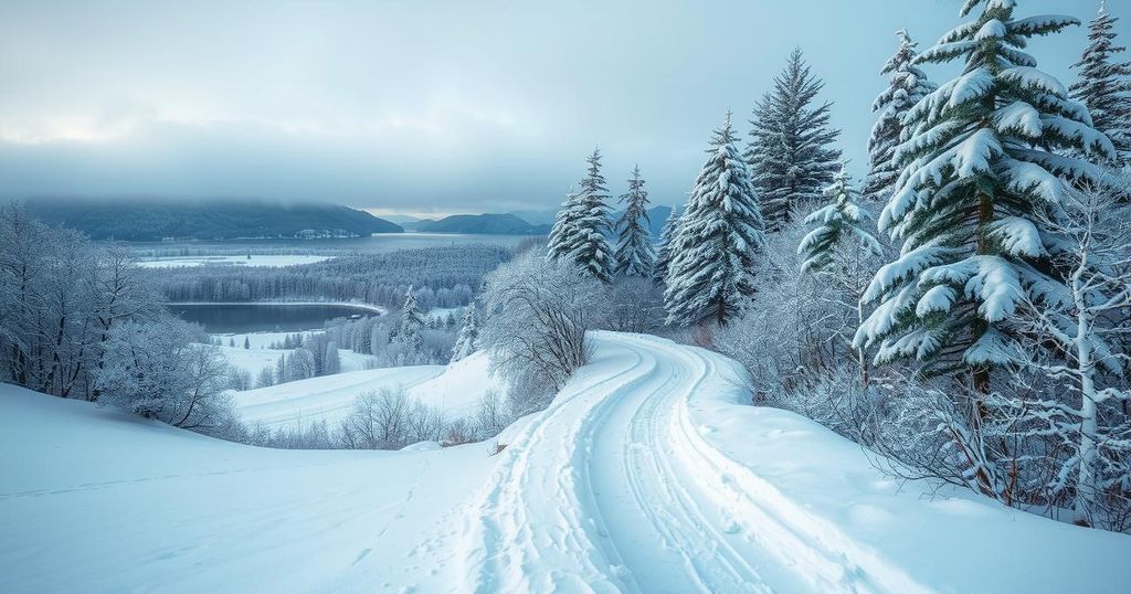
Montana is currently under a winter weather advisory, with snowfall expected in regions such as Billings and Great Falls. Temperatures are in the 20s in the north and east, while milder conditions prevail in the west. A weak storm system is affecting these areas, with forecasts of a stronger system arriving from New Year’s Day, leading to significant temperature variations across the state.
A winter weather advisory is currently in effect across several regions in Montana, including Billings, Sheridan, Great Falls, Lewistown, and Bozeman. This advisory signals the forecast of additional snowfall, with expected accumulations of one to two inches in certain areas. Presently, temperatures in northern and eastern Montana are in the 20s, while the western regions are experiencing slightly milder conditions in the 30s due to a stalled weather front.
Snowfall is evident from radar readings in mountainous areas around Missoula, extending from Helena to near Great Falls, and also affecting the Roundup and Billings locations. A weak storm system is advancing southeastward from Canada, leading to more snowfall across north-central and central Montana and into the south-central region. Snowfall is projected to cease by tomorrow morning as drier air begins to infiltrate the state.
Looking ahead, meteorological models suggest that a stronger storm system will arrive from New Year’s Day and continue into the weekend, potentially bringing mixed precipitation to various parts of Montana. Temperature projections indicate a division across the state, with significant cold air impacting central and eastern locales, while the west and southwest will likely continue to experience temperatures above normal.
Tonight, temperatures are forecasted to drop into the teens and 20s, with single-digit readings anticipated in the far northeast. Tomorrow’s daytime temperatures will vary, with highs in the 10s and 20s expected in north-central and eastern regions, while western and southwestern areas could see highs in the 30s. As we approach Wednesday, temperatures will experience a notable decrease, with highs in the single digits and 10s extending east of the stalled front, contrasting with continued 30s in the west and southwest.
In Montana, winter weather patterns often include significant snowfall and temperature fluctuations due to the movement of storm systems. The current winter weather advisory reflects the potential for varying amounts of additional snow across the state. Meteorologists monitor these systems closely, as they can bring both immediate weather impacts and longer-term changes in temperature patterns, especially with regard to the arctic air to come. Over the upcoming days, the interplay between cooler northern fronts and warmer western air masses will shape the state’s weather landscape, leading to distinct differences in localized temperatures and precipitation types. Understanding these weather patterns is crucial for residents and travelers alike, as they influence daily activities, travel conditions, and safety measures to take during inclement weather.
In summary, Montana is under a winter weather advisory with forecasts of additional snowfall in various regions. Currently, temperatures vary significantly across the state, influenced by a stalled weather front. Residents should prepare for colder conditions projected for the coming days, particularly as a stronger storm system approaches. The weather patterns in Montana illustrate the complexity of winter systems and their ability to cause rapid changes in temperature and precipitation.
Original Source: www.montanarightnow.com


