
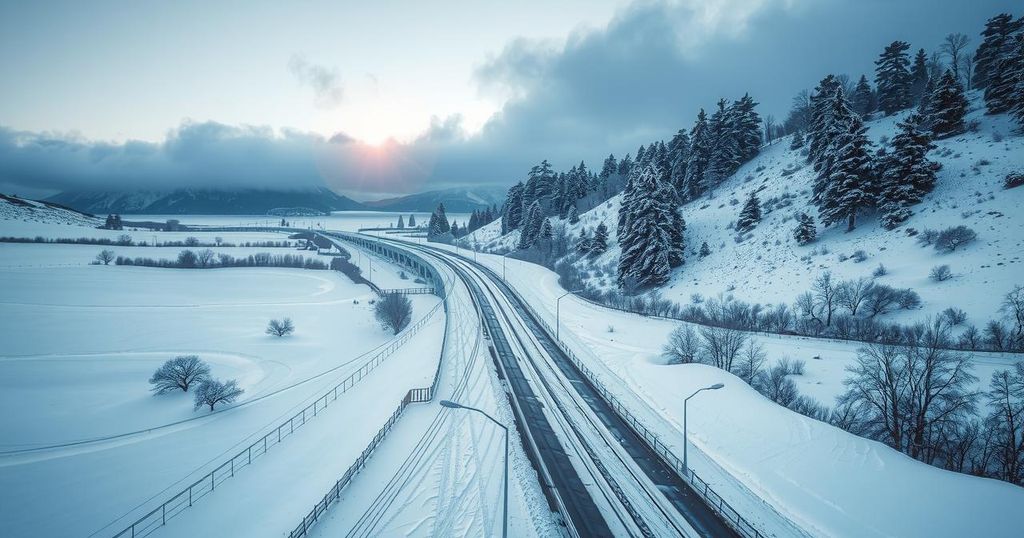
Winter Storm Impacts Freezing Rain and Winds Across Northeastern Montana
Montana’s Hi-Line and northeastern areas are under winter storm alerts, with freezing rain and gusty winds forecasted. Glasgow may remain cloudy while Billings could see sunshine. Additional moisture is expected in the evening, and conditions will improve by Monday night. Winds in central Montana are forecasted to continue but subside by evening, leading to calmer conditions by midweek.
Residents across the Hi-Line and northeastern regions of Montana are currently under active winter storm alerts. Many areas experienced freezing rain overnight, with these hazardous conditions likely to continue throughout the day. Glasgow may encounter persistent cloudy weather, whereas Billings could enjoy clearer skies and some sunshine in the afternoon as the central corridor improves.
As evening approaches, additional moisture is predicted to move through regions from Hamilton to Kalispell, potentially bringing brief snow or rain showers, particularly in valley areas. However, these showers are anticipated to be light and short-lived. Moving into Monday morning, passing showers and cloud cover might affect south central Montana, but conditions are expected to improve by Monday night, paving the way for clearer skies on Tuesday.
On Wednesday morning, which coincides with Christmas Day, another wave of moisture is forecasted to traverse from the Idaho panhandle into the Flathead and Missoula valleys. In terms of wind conditions, north central Montana is experiencing gusty winds, with a high wind alert in Livingston having expired early this morning. Winds of 35 to 45 mph are expected to linger in central Montana areas, including Cut Bank and near the Rocky Mountain Front, although these conditions are projected to diminish by this evening. The upcoming days are expected to bring calmer winds, especially in traditionally windy locales such as Great Falls and Livingston.
The winter storm affecting the northeastern regions of Montana is part of a broader weather pattern that often brings freezing temperatures and precipitation during this season. Winter storms can lead to hazardous travel conditions and disruptions due to the combination of rain, snow, and wind. Understanding how these storms develop and impact local weather is crucial for residents, particularly as they prepare for potential changes in their daily activities and travel plans.
In conclusion, Montana residents are facing significant winter weather impacts, including freezing rain and high winds. While some areas may experience short-lived showers, improved conditions are expected as the week progresses. It is essential for individuals in affected regions to remain vigilant and prepared for evolving weather conditions across the Hi-Line and northeastern Montana.
Original Source: www.montanarightnow.com


