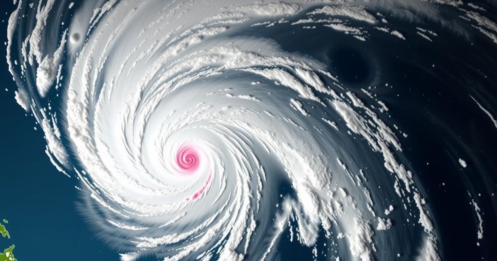
Tropical Depression Romina Enters PAR, Signal No. 1 Raised in Kalayaan Islands

PAGASA imposed Tropical Cyclone Wind Signal No. 1 over the Kalayaan Islands due to Tropical Depression Romina entering PAR. Estimated 365 km south of Pag-asa Island, Romina is moving north-northeast at 30 kph, with maximum winds of 55 kph and gusts to 70 kph. Coastal hazards are expected, with wave heights reaching 4.5m. Mariners advised to seek shelter. Romina may strengthen briefly but is predicted to weaken afterward.
On December 22, the Philippine Atmospheric, Geophysical and Astronomical Services Administration (PAGASA) announced the issuance of Tropical Cyclone Wind Signal No. 1 for the Kalayaan Islands due to the entering of Tropical Depression Romina into the Philippine Area of Responsibility (PAR). At 11 a.m., Romina was located approximately 365 kilometers south of Pag-asa Island in Kalayaan, Palawan, and was advancing north-northeast at a speed of 30 kilometers per hour. The system exhibits maximum sustained winds of 55 kph, with gusts reaching up to 70 kph.
Wind Signal No. 1 suggests the likelihood of minimal to minor impacts from the winds, particularly affecting coastal and upland areas that are exposed to prevailing winds. Winds in these regions are anticipated to be stronger than in more sheltered locales. Should Romina increase in intensity, Signal No. 2 may be raised as the highest wind signal.
PAGASA cautioned about hazardous coastal conditions, predicting wave heights of up to 4.5 meters in the seaboards of the Kalayaan Islands and other affected areas. Mariners are advised to stay in port or seek shelter if they are currently at sea. Furthermore, various regions expect wave heights ranging between 2.0 to 4.0 meters, necessitating vigilance for those in smaller vessels or motorbancas to avoid danger during this period.
Romina is anticipated to change its course to the north-northwest later in the day and progressively towards the west-northwest in subsequent days. The tropical depression may briefly intensify into a tropical storm within the next 12 hours, before likely weakening as it continues its trajectory.
The Philippines often faces tropical depressions, especially during the typhoon season. PAGASA closely monitors these systems, providing warnings and updates to mitigate risks associated with severe weather conditions. Various wind signals are issued to inform residents, particularly those in coastal and upland areas, of potential impacts, enabling them to prepare accordingly. Wave heights and sea conditions are also crucial for mariners, as adverse weather can lead to dangerous maritime environments. Tropical Cyclone Wind Signal No. 1 indicates an early warning of potential challenges from strong winds, especially for those near the affected regions.
In conclusion, the entry of Tropical Depression Romina necessitates vigilance, particularly for those residing in or near the Kalayaan Islands. The issuance of Tropical Cyclone Wind Signal No. 1 underscores the expected wind impacts, urging marine operators and residents to take necessary precautions. Moreover, the projected wave heights signify hazardous conditions at sea, highlighting the importance of adhering to safety advisories from PAGASA. Continued monitoring of the system’s trajectory and intensity is crucial for effective disaster preparedness and response.
Original Source: www.philstar.com


