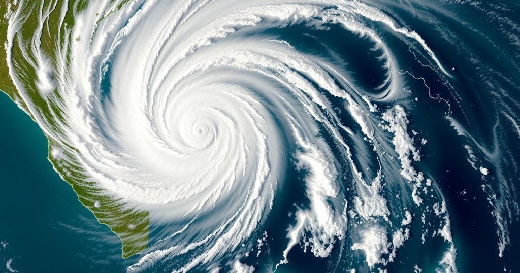
Tropical Cyclone Chido Hits Agalega as Strongest in 50 Years, Approaches Mayotte and Mozambique

Tropical Cyclone Chido struck Agalega on December 12, 2024, as the strongest cyclone in over 50 years, with wind speeds soaring to 222 km/h (138 mph). It is en route to Madagascar and Mozambique, prompting alerts for severe weather impacts in these regions.
Tropical Cyclone Chido has rapidly intensified, making its landfall on Agalega on December 12, 2024, as the most powerful cyclone to impact the island in over 50 years. Chido’s wind speeds skyrocketed from 111 km/h (69 mph) to 222 km/h (138 mph), recorded just before landfall, effectively categorizing it as a category 4-equivalent cyclone. Following its passage over Agalega, it is expected to move toward northern Madagascar, Mayotte, and ultimately make landfall in Mozambique.
Cyclone Chido formed in the Southwest Indian Ocean Basin on December 10, marking it as the third named storm of the active 2024/25 cyclone season. After its formation, it manifested rapid intensification, hitting maximum sustained winds of 215 km/h (135 mph) and peak gusts of up to 295 km/h (185 mph) shortly before landfall. Affected areas, particularly Madagascar and Mayotte, are being advised to prepare for severe weather conditions as Chido approaches their regions.
The cyclone is anticipated to brush past northern Madagascar on December 13, and there are predictions it will be near Mayotte on December 14, before making landfall near Nacala, Mozambique, on December 15. Enhanced satellite imagery provided insights into Chido’s characteristics, including a compact 11 km (7 miles) wide eye surrounded by powerful convection. Notably, this cyclone is becoming ominous for regions already experiencing adverse weather due to its significant wind speeds and possible heavy rainfall.
Authorities have issued cyclone pre-alerts for Mayotte as well as warnings for the Comoros, predicting deteriorating weather conditions from Saturday. The exact impact zone in Mozambique remains uncertain as forecasts continue to evolve. Local residents are urged to stay updated through their national meteorological services for safety and preparedness.
Tropical cyclones such as Chido are formed in warm ocean waters and can rapidly intensify due to favorable atmospheric conditions. The Southwest Indian Ocean is known for showing such cyclone activity, particularly during the cyclone season from November to April. Historical data indicates that Agalega has not experienced a cyclone of this magnitude since Cyclone Andry in 1983, which underscores the potential devastation Chido could bring. Understanding the trajectory and intensity of such storms is crucial for informing residents and authorities about preparedness efforts.
In summary, Tropical Cyclone Chido has emerged as a significant weather event, having rapidly intensified before making landfall on Agalega. It poses serious threats to Madagascar, Mayotte, and Mozambique, expected to bring destructive winds, heavy rainfall, and coastal flooding. Local authorities are actively issuing warnings for the region, stressing the importance of vigilance and adherence to official forecasts to mitigate the cyclone’s impacts.
Original Source: watchers.news


