Tropical Cyclone Chido: Historic Storm Impacts Agalega, Threatens Mayotte and Mozambique

Tropical Cyclone Chido struck Agalega on December 12, 2024, becoming the strongest cyclone in over 50 years. The storm rapidly intensified, reaching wind speeds of 222 km/h. It is expected to impact Madagascar, Mayotte, and Mozambique in the following days, bringing heavy rains and strong winds. Authorities have issued warnings and preparedness measures for affected regions.
On December 12, 2024, Tropical Cyclone Chido made landfall on Agalega Island, marking it as the strongest cyclone to impact the area in over 50 years. Prior to this, the storm rapidly intensified within the period of one day, with wind speeds escalating significantly before striking the island. Following its landfall on Agalega, Chido is forecast to travel towards Madagascar, Mayotte, and Mozambique, with expectations of substantial weather disturbances accompanying its path.
The cyclone, classified as the third named storm of the 2024/25 Southwest Indian Ocean Cyclone season, showcased remarkable rapid intensification. Wind speeds climbed from 111 km/h (69 mph) to a peak of 222 km/h (138 mph) within just 24 hours. Chido reached Agalega as a category 4-equivalent cyclone, surpassing previous storms and further alarming residents due to anticipation of severe impacts across neighboring regions as well.
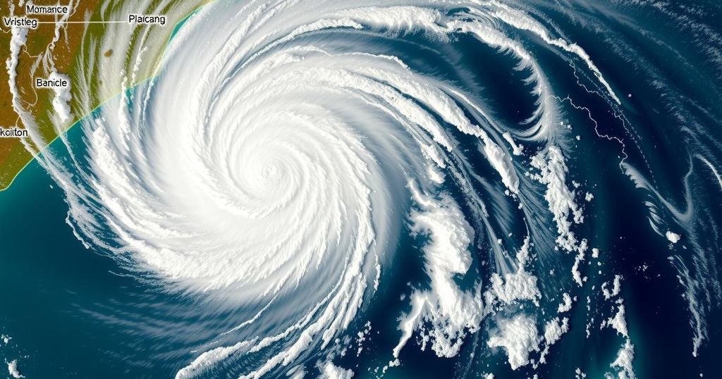
Following its path, Chido is predicted to graze northern Madagascar on December 13 before approaching Mayotte, and is anticipated to make landfall near Nacala, Mozambique, on December 15. Notably, the storm’s formation occurred in the Southwest Indian Ocean Basin on December 10, and within a short period, it demonstrated concerning features, including a small yet fiercely intense eye evident in satellite imagery.
As Tropical Cyclone Chido progresses, adverse weather conditions including heavy rainfall and destructive winds are expected, particularly impacting northern Madagascar and Mayotte starting December 14. Mozambique may also face similar conditions, though the exact impact zone is uncertain. Authorities advise residents in affected areas to remain alert, monitoring updates from their national meteorological services for safety and preparedness in advance of the cyclone’s anticipated effects.
Tropical Cyclone Chido represents a significant weather event, demonstrating characteristics of severe cyclones within the Southwest Indian Ocean Basin. The storm has been categorized as the most powerful cyclone to strike Agalega in over five decades, contributing to heightened safety concerns for nearby regions such as Madagascar, Mayotte, and Mozambique. Rapid intensification is a critical feature of Chido, denoted by a rapid increase in wind speeds, leading to its classification as a category 4-equivalent cyclone upon landfall. With its formation signaling the onset of the cyclone season, Chido’s trajectory is expected to yield serious adverse weather conditions affecting not only local populations but also broader regional climates. Furthermore, previous cyclones have posed substantial risks to the region, with historical references informing current preparedness efforts as threats from such storms remain persistent.
In conclusion, Tropical Cyclone Chido has made history by recording its strength as the most formidable storm to hit Agalega in over 50 years. Its rapid escalation in wind speed underscores the potential dangers posed to neighboring regions as it continues on its path towards Madagascar and Mozambique. As the cyclone approaches, authorities encourage vigilance among residents to prepare for the anticipated severe weather conditions, emphasizing the need for accurate information from meteorological services. Tracking and responding to such significant weather events remain paramount for public safety.
Original Source: watchers.news


