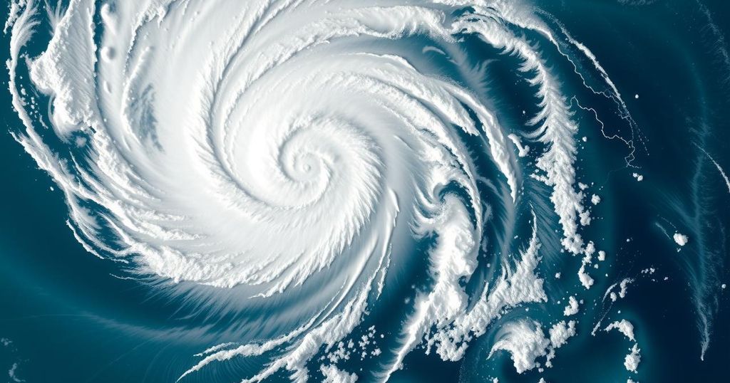
Tropical Storm Chido Approaches Madagascar: Forecast and Implications

Tropical Storm Chido has developed in the Indian Ocean, intensifying as it approaches Madagascar, with forecasts suggesting possible landfall bringing strong winds and rain by December 13. The storm may continue to strengthen, leading to uncertainty regarding its exact impact.
On December 10, a new tropical storm named Chido developed in the Southwest Indian Ocean, becoming the third named storm of the season. As of the latest update, Chido has intensified into a severe tropical storm with wind speeds reaching 95 kilometers per hour. The system is currently located approximately 500 kilometers east-southeast of Agalega, Mauritius, and 985 kilometers east of Sambava, Madagascar. Forecasters predict that Chido will continue on a westward trajectory towards Madagascar, potentially making landfall near the northern part of the island by Friday, December 13, bringing with it strong winds and substantial rainfall.
As Meteo-France projects, Chido may further strengthen and could reach tropical cyclone status by Thursday, December 12, with wind speeds expected to increase up to 138 kilometers per hour. However, there remains some uncertainty about the storm’s exact trajectory and intensity at the time of its approach toward Madagascar. The conflicting predictions from different forecasting agencies indicate a variation in expected wind speeds, with the Joint Typhoon Warning Center anticipating somewhat weaker winds due to prevailing wind shear conditions.
Seasonal factors are also at play, as the Southern Hemisphere cyclone season is just commencing with its peak temperatures still to arrive. History has shown that warmer ocean waters, prevalent in the latter months of the cyclone season, will continue to provide conditions conducive to hurricane formation. As such, additional storms beyond Chido are likely on the horizon, given that there are still 23 names left available in the cyclone naming list for this season.
Tropical storms pose significant threats to island nations, especially in the Indian Ocean region, where conditions can lead to rapid intensification of storms. Chido, which formed in December, comes during the Southern Hemisphere’s storm season that runs from November to April and is significant for its warm ocean waters that can fuel tropical cyclones. The season’s peak typically occurs from December through March, indicating a heightened risk of storms during this period. Furthermore, meteorological agencies like Meteo-France and the Joint Typhoon Warning Center provide crucial forecasts and warnings to ensure preparedness for such natural events.
In summary, Tropical Storm Chido, which formed recently in the Southwest Indian Ocean, is intensifying as it approaches Madagascar. Expected landfall near northern Madagascar by December 13 could bring severe weather, including high winds and rain. With the cyclone season just beginning, additional storms may further affect the region in the coming weeks. Continuous monitoring by meteorological agencies will be essential to adequately prepare for any impacts.
Original Source: earthsky.org


