Contrasting Weather Patterns: Lake-Effect Snow in North America and Heatwave in South Africa

This article highlights the ongoing winter weather in North America characterized by lake-effect snow, with significant snowfall reported across regions by the Great Lakes. In contrast, South Africa is experiencing its third heatwave of the season, with temperatures exceeding 35 degrees Celsius. Both regions showcase the extremes of winter and summer weather conditions occurring simultaneously.
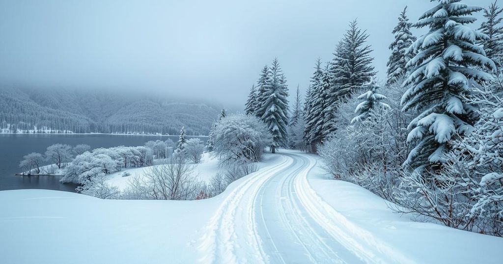
Winter has firmly established itself across North America, evidenced by two major lake-effect snow events since Thanksgiving. This phenomenon occurs when cold Arctic air from Canada moves over the warmer waters of the Great Lakes, causing the surface air to warm and absorb moisture. As this air rises, it cools and condenses, forming clouds that release substantial snowfall along the windward shores.
Recently, a low-pressure system in eastern Canada funneled frigid Arctic air into the northeastern United States. This dry air traversed the warmer waters of Lake Erie, gaining moisture and resulting in significant snow accumulation. Reports indicated snowfall rates between 1 inch and 3 inches per hour in Erie and Crawford counties, Ohio, with Ashtabula County receiving approximately 30 centimeters within the first 12 hours. Notably, some areas recorded up to 90 centimeters of snow by Saturday morning. The severity of these conditions led to the closure of portions of Interstates 86 and 90 on November 29.
While a temporary break in the snowfall occurred over the weekend due to changing wind patterns, colder northwesterly winds soon returned, bringing an additional 30 centimeters of snow to the affected regions. The highest snow total recorded during these events was an impressive 162 centimeters in Girard, Pennsylvania. The forecast anticipates further lake-effect snowfall as a winter storm is expected to move across the northeastern United States, potentially accumulating an additional 7.6 centimeters to 20.3 centimeters of snow in the regions previously impacted.
In a stark contrast, South Africa is facing its third heatwave of the season, characterized by persistently high temperatures. This current heatwave commenced last week and is projected to persist into the following week, with Bloemfontein, one of South Africa’s major cities, expected to experience daily temperatures exceeding 35 degrees Celsius. The hottest days are anticipated on Tuesday and Wednesday, potentially exceeding 40 degrees Celsius, markedly higher than the usual seasonal averages.
The article discusses recent winter weather phenomena in North America, focusing on lake-effect snow, which is prevalent in regions surrounding the Great Lakes. It also provides insight into contrasting weather conditions in South Africa, where the nation is experiencing extreme heat. This juxtaposition allows for a better understanding of global climatic variations occurring simultaneously. Lake-effect snow results from the interaction between cold air masses and warm lake waters, a process exacerbated by prevailing weather patterns, whereas heatwaves in South Africa highlight the effects of rising temperatures in different hemispheres.
In summary, North America is grappling with substantial lake-effect snow due to cold Arctic air interacting with the Great Lakes, leading to significant snowfall and travel disruptions. In contrast, South Africa is enduring extreme heat, marking the onset of a severe heatwave. These contrasting weather scenarios underscore the diverse climatic challenges faced regionally, illustrating the complexity of current global weather patterns.
Original Source: www.theguardian.com


