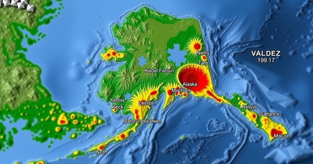
Magnitude 2.2 Earthquake North of Valdez, Alaska on November 28, 2024

A magnitude 2.2 earthquake occurred 35 miles north of Valdez, Alaska, on November 28, 2024. The tremor registered at a depth of 18.7 miles (30 km) and has not yet been reviewed by seismologists. Southern Alaska’s geology is known for significant tectonic activity, primarily involving the Pacific and North American plates.
On November 28, 2024, an earthquake measuring 2.2 on the Richter scale occurred approximately 35 miles north of Valdez, Alaska, at 11:01:23 AKST. The earthquake struck at a depth of 18.7 miles (30 km) and has not undergone review by a seismologist. Its geographical coordinates were recorded at 61.6277°N latitude and 146.3836°W longitude. The seismic event was located 39 miles (63 km) northwest of Thompson Pass and was also notably distanced from several other key locations in the region, such as Copper Center and Mount Wrangell.
Southern Alaska is an area characterized by significant seismic activity due to its complex tectonic setting. The region experiences earthquakes primarily from the megathrust fault formed by the interaction of the Pacific Plate and the North American Plate. This interaction has historically produced some of the largest earthquakes recorded globally, including the Great Alaska Earthquake in 1964. Intermediate-depth earthquakes also occur within the Wadati-Benioff Zone, where the Pacific Plate subducts beneath the North American Plate.
The recent magnitude 2.2 earthquake north of Valdez, although minor, is part of a broader context of seismic activity in Southern Alaska driven by the region’s unique tectonic dynamics. Understanding the sources and implications of such seismic events aids in preparedness and mitigation efforts. The area remains seismically active with potential for larger events, underscoring the importance of ongoing monitoring and research in the field of seismology.
Original Source: earthquake.alaska.edu


