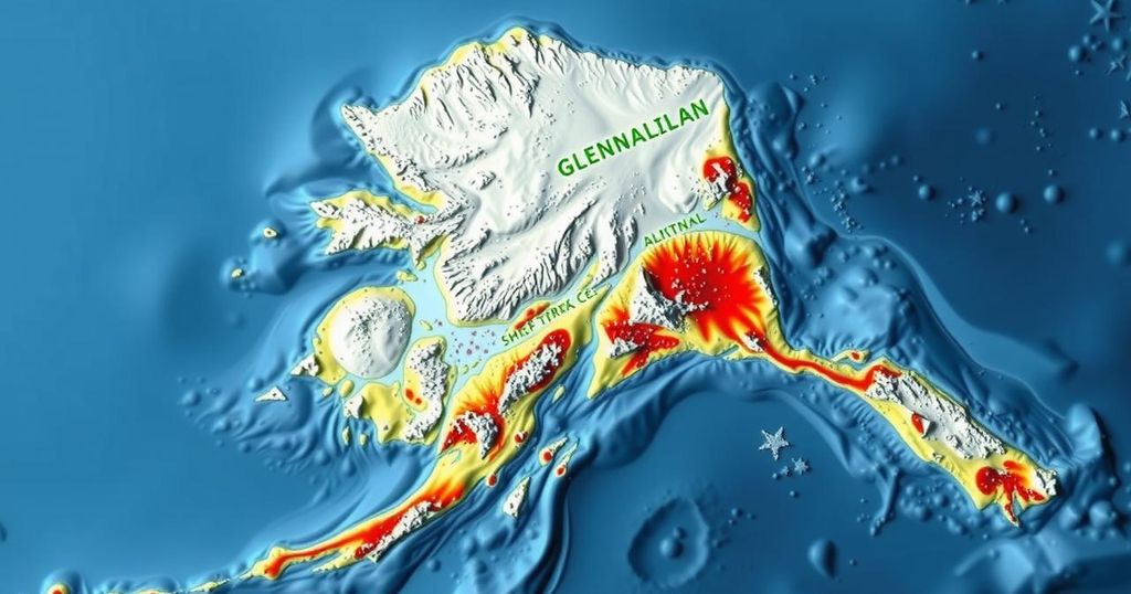
Magnitude 1.7 Earthquake Detected Near Glennallen, Alaska

An earthquake measuring 1.7 magnitude occurred southwest of Glennallen, Alaska, on November 26, 2024, at a depth of 12.4 miles. The event, unreviewed by seismologists, emphasizes the active seismic environment of Southcentral Alaska due to the megathrust fault and other geological features. This region’s history includes significant earthquakes that raise awareness on seismic monitoring and safety measures.
On November 26, 2024, an earthquake of magnitude 1.7 occurred approximately 45 miles southwest of Glennallen, Alaska. The tremor was recorded at 12:37:40 AKST and its depth was measured at about 12.4 miles (20 km). This seismic event remains unreviewed by a seismologist, indicating that preliminary data are still being assessed. The location of the earthquake is notably distant from major population centers, with significant distances cited from sites such as Valdez and Anchorage.
Alaska is seismically active, particularly in the Southcentral region, due to various tectonic features. Key factors include the megathrust fault, where the Pacific Plate subducts beneath the North American Plate. Historical precedents, such as the 1964 Great Alaska Earthquake, highlight the region’s potential for significant seismic activity. Intermediate-depth earthquakes associated with the Wadati-Benioff Zone also contribute to this seismic classification.
The Cook Inlet basin’s geological structures, including faults and folds, are responsible for additional crustal seismicity. Noteworthy events in the region included the M6.9 quake of 1933, believed to have originated on these structures. The Castle Mountain Fault, located north of Anchorage, has been linked to the 1984 Sutton Earthquake. As such, ongoing monitoring is essential in assessing seismic risk within the area.
The earthquake magnitude recorded near Glennallen, Alaska, falls within a highly seismically active region characterized by diverse tectonic mechanisms. Southcentral Alaska is particularly known for its earthquakes, a phenomenon primarily driven by the interactions at the boundary of the North American and Pacific tectonic plates. This interactions occasionally release energy resulting in seismic events, which have been recorded across varying magnitudes and depths, particularly influenced by historical seismicity such as the M9.2 Great Alaska Earthquake of 1964. In addition to megathrust earthquakes, the area also experiences intermediate-depth seismic activity in the Wadati-Benioff Zone and crustal movements associated with localized tectonic structures such as faults. Specific structures, such as the Castle Mountain Fault, have a notable history of generating earthquakes, prompting continuous seismological observations and assessments to mitigate risks and understand seismic patterns in this region.
The recent earthquake event southwest of Glennallen, Alaska, serves as a reminder of the region’s tectonic volatility, highlighting the crucial need for vigilant monitoring and analysis by seismologists. The interconnectedness of various seismic sources, such as subduction zones and crustal faults, reinforces the importance of understanding the underlying geological structures that contribute to seismic events. Historical data and ongoing research are pivotal to earthquake preparedness strategies in southern Alaska.
Original Source: earthquake.alaska.edu


