Severe Weather Alert: Wind and Snow Impacting Sierra and Truckee Meadows

The Sierra and Truckee Meadows area is facing extreme weather warnings, including high winds up to 80 mph and heavy snowfall. Rain will begin this evening followed by mixed precipitation at higher elevations, worsening travel conditions. A second cold front arrives late Sunday, contributing additional snowfall and impacting travel plans through the holiday period. Attentiveness to updates is essential for public safety.
The Sierra and Truckee Meadows region is bracing for another phase of severe weather today, with a High Wind Warning in effect until 1 a.m. for Reno, Sparks, and Carson City, citing potential wind gusts reaching up to 65 mph and up to 80 mph in susceptible areas. Significant wind activity is anticipated during the late afternoon and early evening hours, implying possible flight cancellations and downed tree branches. Residents are encouraged to secure outdoor items to prevent damage.
In addition to the wind, a Red Flag Warning has been issued for the Southern Sierra Front and western Basin and Range through 7 p.m. on Friday. A transition to rainfall is expected by 7 p.m., starting off light and progressively intensifying to heavy rain by 9 p.m. Road flooding may occur as a result of ponding, and it is unusual for both wind and rain to occur simultaneously, which may happen during this storm.
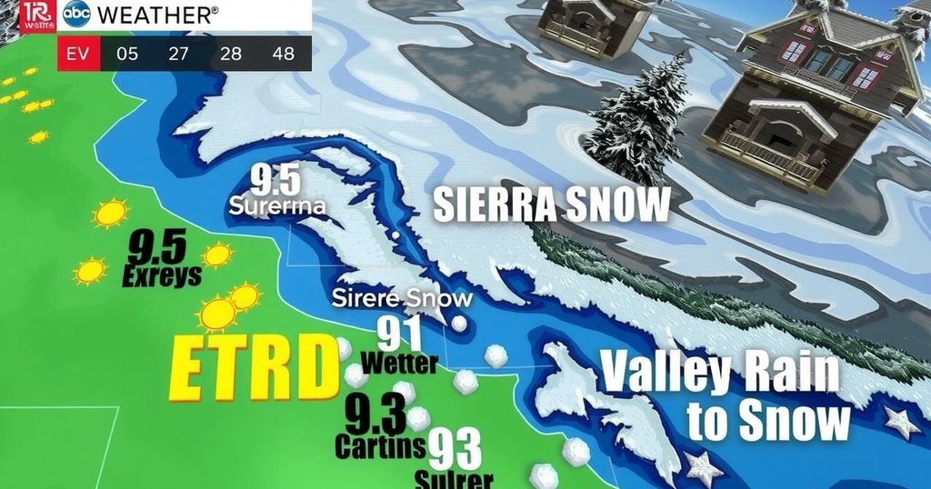
Snowfall is projected to recommence at Donner Pass around 11 a.m. on Friday, following a brief hiatus, and it will continue through Saturday morning under a Winter Storm Warning issued for the Tahoe Basin. The forecast anticipates several feet of heavy, wet snow over the next 24 hours, especially in higher elevations. A second cold front is expected late Sunday through Tuesday, potentially bringing an additional foot or two of snow, further complicating travel plans over the weekend.
Travelers should aim to navigate the Sierra between 2 p.m. Saturday and noon Sunday for the safest conditions, as Friday night is expected to present challenges. While snowfall will largely be confined to higher elevations, areas within the Truckee Meadows may initially receive rain, with mixed precipitation possible by Saturday morning at elevations above 5,500 feet. Rain totals in the valley are projected to range between a quarter and an inch before transitioning to snow.
Additionally, a Flood Advisory has been issued for parts of Lassen, Plumas, and Sierra Counties due to minor flooding concerns along the Susan River. A final round of winter weather is predicted to arrive late Sunday through Tuesday, bringing the coldest conditions of the series and possibly accumulating feet of snow above 7,000 feet. Forecasts suggest light snow in the valley with limited accumulations.
Travel is expected to improve significantly on Wednesday and Thanksgiving Day, providing safer opportunities for holiday travel. However, for those needing to traverse the area this weekend, late Saturday and the early portion of Sunday will be more favorable than the latter part of Friday or late Sunday into early next week.
It is advisable to remain vigilant for updates as the storm’s conditions may alter rapidly, necessitating appropriate precautions and adjustments to travel plans.
The article provides a comprehensive overview of the imminent weather patterns affecting the Sierra and Truckee Meadows area, including warnings for extreme wind and precipitation. These conditions are expected to complicate travel plans, especially over the weekend and into early next week. The author emphasizes the urgency of preparation for the fluctuating weather that includes strong winds, rain, and heavy snowfall, which can disrupt daily activities and pose safety risks.
This weather update highlights the seriousness of the wind and snow conditions expected over the coming days. The community should prepare for potential disruptions, particularly related to travel, and heed safety warnings. It is essential to take precautionary measures during this active weather pattern to ensure personal safety and safeguard property. The evolving nature of the storm warrants continued attention for any updates or changes in forecasts.
Original Source: www.2news.com


