Tropical Storm Sara Targets Honduras Amid Record Hurricane Activity

Tropical Storm Sara has formed in the Western Caribbean, threatening northeastern Honduras with excessive rainfall, potentially leading to catastrophic flooding and mudslides. The storm’s rapid development reflects an unusually active hurricane season, with the country not yet fully recovered from past hurricane-induced disasters, thereby amplifying concerns over ongoing environmental and economic impacts.
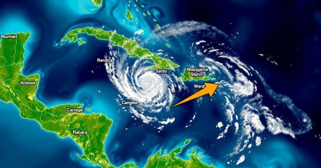
Tropical Storm Sara formed over the exceptionally warm waters of the Western Caribbean on November 14 and was quickly upgraded from Tropical Depression 19 within hours. This development marks the Atlantic hurricane season of 2024 as hyperactive, with records reflecting 18 named storms, 11 hurricanes, and five major hurricanes, significantly surpassing the average counts. The storm is currently heading towards northeastern Honduras and is expected to bring excessive rainfall ranging from 10 to 20 inches, posing serious threats of flooding in mountainous regions and increasing the risk of landslides. As of early Thursday afternoon, Sara was located roughly 50 miles off the northeastern coast of Honduras, with sustained winds reaching 40 mph. The storm’s trajectory suggests it may make landfall imminently, impacting northern Honduras, where early rainfall measurements have already reached over 3 inches within a 30-hour period. Recent trends indicate a rapid formation of storms late in the season, with 11 named formations since late September, the highest for this calendar segment. Forecast models indicate a slow westward movement for Sara, with the potential for slight intensification while over warm waters, although interaction with Honduras’s mountainous terrain may limit its strength. The models suggest an eventual tracking towards the Gulf of Mexico by next week, but significant land interaction beforehand is anticipated to reduce any threats to U.S. Gulf states. Honduras is still reeling from the devastating impacts of past hurricanes such as Mitch, Eta, and Iota, which collectively led to substantial loss of life and widespread destruction. Hurricane Mitch alone resulted in over 11,000 fatalities due to catastrophic flooding. Furthermore, Eta and Iota in 2020 caused additional damage exceeding $4 billion, impacting agricultural productivity and economic stability in the country. The aftermath of these events continues to influence migration patterns from Honduras, as many seek refuge due to environmental factors and economic instability exacerbated by the climatic events.
The article highlights the formation and projected path of Tropical Storm Sara, occurring in the context of an unusually active hurricane season. The discussion includes comparisons to historical storms and their dire consequences for Honduras, which is a region particularly vulnerable to extreme weather phenomena. The patterns of storm formation underscore the larger issue of climate change and its impact on migration, particularly following significant losses in recent hurricanes.
In summary, Tropical Storm Sara poses a significant threat to Honduras, with the potential for catastrophic flooding and mudslides as it approaches the region. Given the current trends in storm activity and the historical context of devastating hurricanes, it is crucial to monitor the situation closely. Honduras’s previous experiences with extreme weather events underscore the need for preparedness and resilience in the face of an evolving climate scenario that continues to influence societal migration patterns.
Original Source: yaleclimateconnections.org


