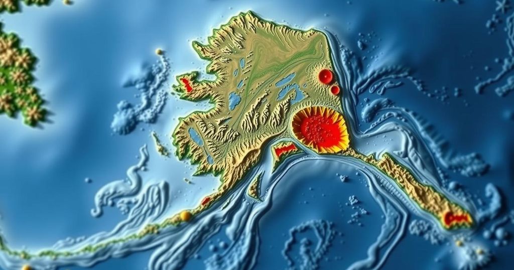
Overview of the November 2024 Tatitlek Earthquake in Alaska

A magnitude 1.7 earthquake struck 45 miles NW of Tatitlek, Alaska, on November 6, 2024. Recorded at a depth of 9.9 miles, this event highlights the region’s seismic activity resulting from complex tectonic interactions, including the megathrust fault responsible for some of the strongest earthquakes in Alaska.
On November 6, 2024, a magnitude 1.7 earthquake occurred approximately 45 miles northwest of Tatitlek, Alaska, at 02:48:31 AKST. This seismic event, which has not undergone review by a seismologist, originated at a depth of 9.9 miles (16 km). Its geographical coordinates are recorded as 61.3214°N and 147.6294°W, and it is situated approximately 45 miles (72 km) west of Valdez and 76 miles (123 km) east of Anchorage.
The tectonic landscape of Southern Alaska is complex, with earthquakes primarily resulting from the interactions of various geological features. Notably, the megathrust fault where the Pacific and North American plates converge is responsible for the most powerful quakes in this area, exemplified by the 1964 Great Alaska Earthquake. Furthermore, intermediate-depth seismicity arises from the subduction of the Pacific Plate in areas like the Wadati-Benioff Zone. Different geological structures also contribute to local crustal seismicity, such as faults within the Cook Inlet basin that have produced significant earthquakes historically.
In summary, the recent earthquake near Tatitlek emphasizes the ongoing seismic activity characteristic of Southern Alaska, where multiple tectonic features contribute to a dynamic geological environment. The proximity to significant faults illustrates the region’s susceptibility to both shallow and intermediate-depth seismicity, necessitating continued monitoring and study to understand the risk posed to the surrounding communities.
Original Source: earthquake.alaska.edu


