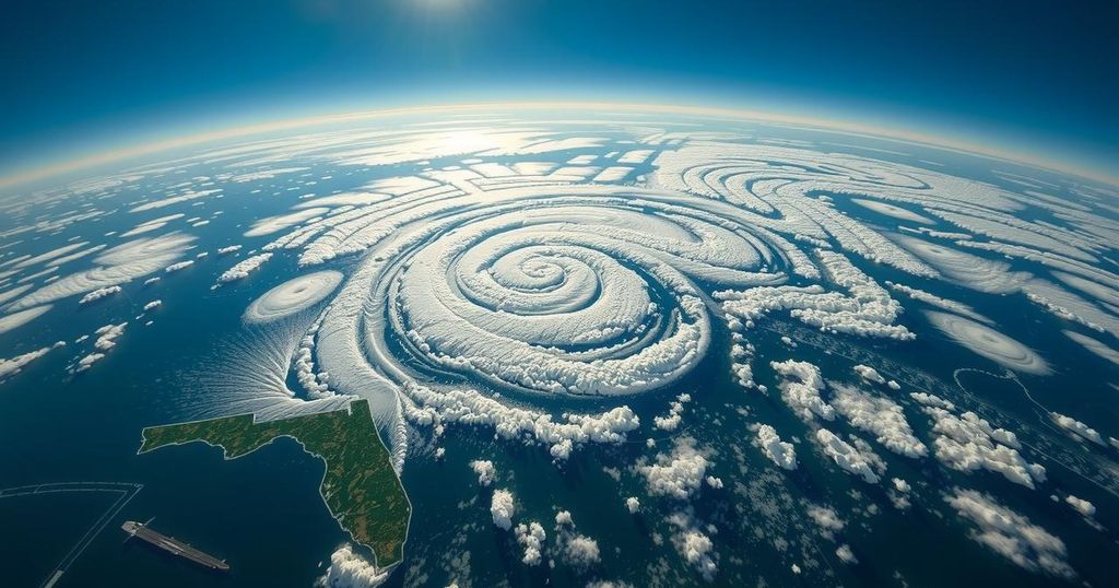
Hurricane Rafael Projects Westward; Florida Remains Unaffected

Hurricane Rafael has strengthened to 110 mph wind speeds as it approaches Cuba but is unlikely to impact Florida due to a high-pressure ridge steering it west. Forecast models indicate it might not reach the U.S., and it could weaken due to unfavorable Gulf conditions. A separate weather system is being monitored for potential development near the Leeward Islands.
Hurricane Rafael intensified on Wednesday, registering sustained winds of 110 mph as it approached the southern coast of Cuba, specifically near the Isle of Youth. The hurricane is anticipated to make landfall in western Cuba later today. Subsequently, Rafael is projected to move into the southeastern Gulf of Mexico this evening. Fortunately, the Florida peninsula is expected to remain unaffected, given a high-pressure ridge that is guiding the hurricane westward. Forecast models suggest that there is a possibility Hurricane Rafael may not reach the United States at all. Towards the end of the forecast window, a mid-level ridge is likely to develop to the north of the hurricane, which may compel Rafael to shift westward or slightly southward this weekend. This marks a significant departure from prior projections that indicated a potential landfall somewhere between Louisiana and Texas, warranting continuous monitoring for further validation by future model outcomes. Additionally, adverse weather conditions in the Gulf are predicted to emerge, which could hinder the hurricane’s ability to strengthen. As a result, there is a possibility that Hurricane Rafael may weaken before any potential landfall. The meteorological community is also observing another trough of low pressure that is generating disorganized showers and thunderstorms east-northeast of the Leeward Islands. This system is moving generally westward, and there exists a chance of low pressure formation near the northern Leeward Islands by tonight or Thursday. Thereafter, some gradual development is plausible as it progresses towards the northern areas of the Virgin Islands and Puerto Rico, nearing the Southeast Bahamas by the weekend.
Tropical storms and hurricanes are common meteorological events that can have profound impacts on coastal regions. Understanding their trajectory and intensity involves complex modeling techniques that assess various atmospheric conditions. In this context, Hurricane Rafael serves as an illustration of how storms evolve and interact with prevailing weather patterns. Meteorologists utilize models to predict the pathways of such storms, providing crucial information for preparedness and response measures. The influence of high-pressure systems and other climatic factors can significantly alter the projected paths of hurricanes, explaining the shifts seen in forecasts for Rafael’s journey.
In conclusion, Hurricane Rafael poses no threat to the Florida peninsula due to a prevailing high-pressure ridge guiding it westward. Current projections indicate that it may not even reach the United States, with upcoming weather conditions potentially leading to its weakening. Additional attention is warranted for another weather system forming east of the Leeward Islands, which could see gradual development throughout the week. Continuous monitoring of these systems is essential for understanding their potential impacts.
Original Source: www.news4jax.com


