Analysis of Tropical Disturbance: Potential Development into Tropical Storm Rafael

Bryan Norcross discusses the potential development of a tropical disturbance in the Caribbean into Tropical Storm Rafael, with forecasts indicating varying strength as it approaches the Gulf Coast. While significant weakening is expected before landfall, caution is advised for coastal regions, particularly in Florida, due to potential hazardous weather conditions starting Monday.
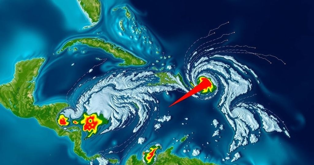
Bryan Norcross provides a detailed analysis of a developing tropical disturbance in the Caribbean, designated as Invest 97L. Currently situated north of the Colombian coast, this system of thunderstorms is expected to evolve into a tropical depression, and potentially Tropical Storm Rafael, within the week. Forecasts indicate that by Monday, the system could be near Jamaica, with expectations that it will transition into a tropical depression by that time. The prevailing direction of this system appears to be northwest, likely passing over the western part of Cuba before entering the Gulf of Mexico on Wednesday. As the low-pressure system interacts with high-pressure areas in the Atlantic, it could generate gusty winds and hazardous ocean conditions along Florida’s eastern coastline from Monday to Wednesday. Particularly vulnerable regions include the southern half of the Florida Peninsula and the Keys. The potential for significant rain and flooding exists for Caribbean islands west of Puerto Rico, with tropical moisture expected to drift northward across Florida beginning Tuesday and persisting through Thursday. The models show varied projections regarding the intensity of Rafael upon entering the Gulf, with estimates ranging from a weak tropical storm to a Category 1 hurricane. However, caution is advised, as the system has not yet formed and the atmospheric conditions, while generally favorable for development, are not definitive. Once Rafael arrives in the Gulf, it may encounter weaker steering currents, which could result in a slower movement of the system. This uncertainty exacerbates the difficulty in forecasting, particularly with regards to potential impacts along the U.S. coastline. Currently, predictions suggest that whether the storm veers west toward Mexico or Texas, or north toward Florida Panhandle, it is likely to weaken significantly before landfall due to unfavorable upper-level winds. In the meantime, the disturbance affecting the Turks and Caicos Islands and the southeastern Bahamas is not anticipated to develop further, as its moisture will likely be absorbed by the strengthening Caribbean system. Additionally, Subtropical Storm Patty, located over the eastern Azores, is reportedly weakening and is expected to lose its tropical characteristics shortly, with its remnants projected to move towards Portugal or northwestern Spain as a less potent system by Tuesday.
Tropical disturbances in the Caribbean are common phenomena that can develop into organized tropical systems, including tropical depressions and storms. Monitoring such systems is critical for providing early warnings of potential impacts on land, including heavy rain, strong winds, and storm surge from hurricanes. The National Hurricane Center plays a key role in tracking these systems and offering guidance based on atmospheric conditions, existing weather patterns, and historical data.
In conclusion, the developing tropical disturbance in the Caribbean, expected to become Tropical Storm Rafael, requires close monitoring due to potential impacts along the Gulf Coast. Although predictions indicate significant weakening prior to landfall, the uncertainty surrounding its strength and exact trajectory underscores the importance of remaining vigilant and informed. Stakeholders along the southeastern U.S. coastline should prepare for various scenarios as the system evolves in the coming days.
Original Source: www.foxweather.com


