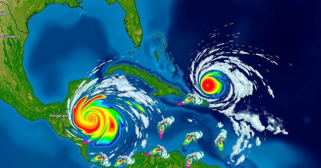
Potential Tropical Cyclone Eighteen Developments as the Hurricane Season Winds Down

The National Hurricane Center has designated a low-pressure area in the western Caribbean as Potential Tropical Cyclone Eighteen, expected to strengthen into a tropical storm by late Sunday or early Monday. A hurricane watch is in effect for the Cayman Islands, while Jamaica faces a tropical storm warning. The system may impact the Gulf of Mexico mid-to-late week, but environmental challenges could hinder its organization. Other disturbances in the Atlantic are also being monitored, with November being a historically significant month for storm development in the Caribbean.
As the hurricane season approaches its conclusion, the National Hurricane Center has designated a significant area of low pressure in the western Caribbean as Potential Tropical Cyclone Eighteen (PTC18). This low pressure system is anticipated to develop into a tropical storm as soon as late Sunday evening or early Monday morning, with forecasts indicating continued strengthening throughout the week. There is potential for the system to achieve hurricane status by Wednesday as it advances toward the Gulf of Mexico. A hurricane watch has been issued for the Cayman Islands, indicating that hurricane conditions may become possible within the next 48 hours. Additionally, a tropical storm warning is in effect for Jamaica, suggesting that tropical storm conditions are expected within the next 24 to 36 hours. The National Hurricane Center notes that PTC18 is projected to drift slowly west-northwestward over the next several days, potentially delivering heavy rainfall to the surrounding areas. Although there is a possibility that this system could affect the Gulf of Mexico later in the week, factors such as wind shear, dry air, and cooler Gulf waters might impede its organization and stability as it moves northward. Residents in the impacted regions are advised to remain vigilant and monitor updates in the coming days. In conjunction with PTC18, the NHC is also monitoring another trough of low pressure near Puerto Rico and Hispaniola, which is expected to cause local flooding without significant chances for tropical development. Furthermore, a third system designated as Subtropical Storm Patty has emerged in the Northern Atlantic and will likely bring strong winds to the Azores and the Iberian Peninsula in the early part of the week. Historically, the western Caribbean has been a significant area for tropical cyclone development during the month of November. Typically, one storm every one to two years forms during this period, with notable variance observed in previous seasons, as evidenced by the absence of storms in November 2022 contrasted with the developments of Martin and Nicole in 2022. In summary, while the chances for tropical development diminish as the hurricane season concludes, the current conditions in the Caribbean warrant close monitoring and preparedness among residents in the forecasted areas.
The article discusses the current status and potential development of tropical cyclones towards the end of the Atlantic hurricane season. It specifically highlights the designation of a low-pressure area in the western Caribbean as Potential Tropical Cyclone Eighteen, which may soon strengthen into a tropical storm or even a hurricane. The historical context of storm formation in this region during November underscores the importance of being prepared for potential impacts, despite the general decline in cyclone activity as the season concludes. The article also provides insights into other weather systems being monitored by the National Hurricane Center.
In conclusion, the National Hurricane Center has identified Potential Tropical Cyclone Eighteen in the western Caribbean, which could soon develop into a tropical storm. Monitoring and preparedness are crucial for residents in affected areas due to the potential for heavy rainfall and the obstruction of the cyclone’s path by environmental factors. Additionally, historical trends highlight the significance of November as a time for storm development in this region, albeit with variable outcomes in different years.
Original Source: weather.com


