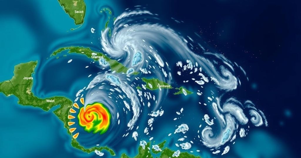
Development of Potential Tropical Cyclone Eighteen (PTC18) in the Caribbean

The National Hurricane Center has designated a low-pressure system in the western Caribbean as Potential Tropical Cyclone Eighteen (PTC18), expected to strengthen into a tropical storm and possibly a hurricane by mid-week. Hurricane watches are in effect for the Cayman Islands, and a tropical storm warning is in place for Jamaica. Residents should remain vigilant as the storm’s path could impact the Gulf of Mexico later this week.
On Sunday afternoon, the National Hurricane Center (NHC) officially categorized a substantial area of low pressure located in the western Caribbean as Potential Tropical Cyclone Eighteen (PTC18). Anticipated to escalate into a tropical storm by late Sunday night or early Monday morning, PTC18 is expected to navigate through the western Caribbean and continue to intensify into the initial part of the week, possibly achieving hurricane status by Wednesday, as it approaches the Gulf of Mexico. The next designated name for storms in the Atlantic is Rafael. In response to the developing system, a hurricane watch has been established for the Cayman Islands, indicating that hurricane conditions could manifest within 48 hours. Furthermore, a tropical storm warning has been issued for Jamaica, suggesting that tropical storm conditions are likely to occur within the next 24 to 36 hours. As for the potential trajectory of PTC18, the NHC predicts that the broad area of low pressure will gradually drift northwest over the coming days, delivering substantial rainfall to the neighboring land areas in the western Caribbean. While projections indicate a potential pathway into the Gulf of Mexico later in the week, the likelihood of significant impacts along the U.S. Gulf Coast remains uncertain. Factors such as wind shear, dry air, and cooler waters in the Gulf may hinder the system’s development and stability as it progresses northward. Therefore, it is advised that residents remain vigilant and monitor updates as the forecasts become more definitive. Additionally, the NHC is tracking another trough of low pressure situated near Puerto Rico and Hispaniola. This system is expected to bring localized flooding to those regions over the forthcoming days, although its potential for tropical development appears minimal prior to its interaction with the Caribbean disturbance. The NHC is also observing a third system in the Northern Atlantic, which has recently been categorized as Subtropical Storm Patty. This system will impact the Azores and the Iberian Peninsula with gusty conditions throughout the week. Historically, the Caribbean serves as a common site for late-season storm formation. As the hurricane season draws to a close, the chances for tropical storm development typically diminish. Statistically, the western Caribbean and Bahamas region—alongside a distinct central Atlantic area—has historically witnessed the greatest frequency of named storms in November. The last month of hurricane season has seen storms develop on average every one to two years. In recent years, the last storm has materialized as early as October 28 and as late as December 7. Notably, in 2022, storms Martin and Nicole were significant developments during November, with Nicole making landfall as a Category 1 hurricane on Florida’s Atlantic coast, marking a rare occurrence since records began in the mid-19th century.
This article discusses the formation and potential development of Potential Tropical Cyclone Eighteen (PTC18) in the western Caribbean, as communicated by the National Hurricane Center. It outlines the expected trajectory of the system, the severe weather warnings issued for the Cayman Islands and Jamaica, and provides insights into historical storm formation trends in the Atlantic, particularly in relation to the end of hurricane season. The article emphasizes the importance of monitoring weather developments as the situation can evolve rapidly, particularly for residents in affected areas.
In summary, Potential Tropical Cyclone Eighteen (PTC18) has formed in the western Caribbean and is forecasted to strengthen into a tropical storm imminently. With hurricane watches and tropical storm warnings currently in place for the Cayman Islands and Jamaica, respectively, residents should remain alert to developments. The system’s possible trajectory towards the Gulf of Mexico presents uncertainties, necessitating continuous monitoring. Historically, late-season storms have been significant in the Caribbean, and residents should be prepared for the possibility of severe weather in the days ahead.
Original Source: www.wunderground.com


