Tropical Development in the Caribbean: An Overview and Polk County Forecast

Forecasters are predicting an 80% chance of a tropical depression forming in the southwestern Caribbean. Concurrently, Subtropical Storm Patty, located west of the Azores, is expected to weaken. Polk County may see increased rain chances as the week progresses. Monitoring weather developments is advised for areas in the Caribbean and the southeastern United States, particularly Florida.
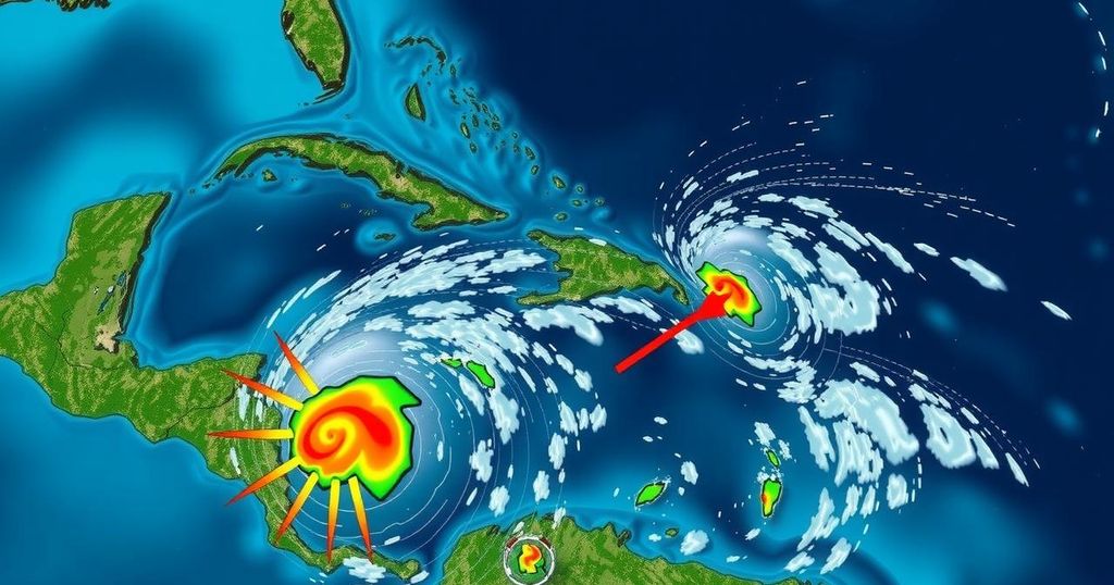
The National Hurricane Center forecasters indicate an 80% likelihood of a broad low-pressure area developing into a tropical depression over the southwestern Caribbean Sea within the next week. Concurrently, a system situated east of Puerto Rico could generate thunderstorms over the Greater Antilles before merging with another storm. Farther out, Subtropical Storm Patty, located west of the Azores, has recorded maximum sustained winds of 50 mph and is anticipated to gradually weaken over the coming days. For the coasts of the United States, particularly in Florida, experts caution that while hurricane occurrences in November are infrequent, the potential for development exists. The majority of forecasts suggest that any resulting storm from the Caribbean system will progress towards the southwestern Gulf of Mexico, potentially changing course toward Florida by next weekend, contingent on various environmental factors. Though the weekend remains clear for Florida, monitoring of the situation is advisable. In Polk County, precipitation chances are on the rise, with a forecast of 30% for Saturday, incrementing to 50% by Wednesday. Relatively calm weather is predicted for early November, with enlightenments in rain chances as the week progresses. Moreover, another area of concern exists near the Greater Antilles, where disorganized weather patterns may lead to slow developments rather than strong tropical systems. Overall, it is crucial for residents in these regions, particularly in the Caribbean, to stay alert as conditions evolve. In summary, while the Atlantic hurricane season draws closer to its end, with only a limited window for tropical development suitable, monitoring and preparedness remain essential as localized weather patterns may shift unexpectedly.
The Atlantic hurricane season extends from June 1 to November 30, characterized by fluctuations in storm development during its duration. As the season progresses into November, the focus for tropical systems tends to shift closer to the coasts of the United States, particularly the Caribbean and Southeast regions. The observed low-pressure systems and disorganized thunderstorms indicated by the National Hurricane Center play a critical role in predicting potential storm formation, necessitating vigilance from forecasting experts and local residents alike.
In conclusion, with an 80% chance of a tropical depression forming over the southwestern Caribbean Sea, monitoring of this developing weather system is crucial. Furthermore, forecasts for Polk County suggest an increase in rainfall chances, emphasizing the need for local preparedness. As the Atlantic hurricane season approaches its conclusion, awareness regarding potential storm developments remains paramount for those in affected regions.
Original Source: www.theledger.com


