Invest 97L Disturbance May Soon Become Tropical Depression in Caribbean

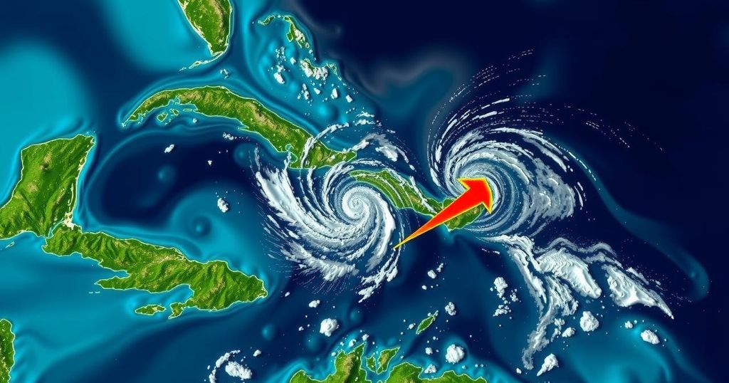
The Invest 97L weather disturbance in the southwestern Caribbean is expected to develop into a tropical depression in coming days as it moves towards the central and western Caribbean. Flooding risks increase for affected islands, while further uncertainty exists regarding its potential impact on the U.S. Gulf Coast. Concurrently, Subtropical Storm Patty has emerged in the North Atlantic.
The Invest 97L disturbance currently in the southwestern Caribbean is anticipated to develop into a tropical depression within the next few days, as stated by the National Hurricane Center (NHC). The system, which is characterized by disorganized showers and thunderstorms, is expected to gain strength as it progresses towards the central and western Caribbean over the weekend. Three Hurricane Hunter flights are scheduled to assess 97L on Sunday and Monday. Should the disturbance intensify and reach tropical storm strength, it will be designated with the name Rafael, succeeding Subtropical Storm Patty, which formed earlier in the northern Atlantic. Weather experts predict that by midweek, a significant amount of tropical moisture could impact the Caribbean islands west of Puerto Rico, leading to a heightened risk of flooding. However, once the system enters the Gulf of Mexico, the forecast becomes less certain due to an environment of weaker steering currents. Hurricane Specialist Bryan Norcross notes, “There is a general consensus in the computer forecast model projections that the system will be at or near tropical storm strength when it reaches the southern Gulf on Wednesday or Thursday.” He further elaborates that should the system remain weak, it may drift westward towards the Mexican coastline. Conversely, if it becomes stronger, it could move northward towards the U.S. Gulf Coast. Despite this, hostile atmospheric conditions, such as dry air and unfavorable wind patterns in the Gulf, may inhibit significant development, making a substantial impact on the U.S. coast improbable, as per the current predictions. Additionally, the NHC is monitoring another low-pressure area in the northeastern Caribbean Sea, which poses a minimal chance of developing into a tropical system over the next week. Norcross commented on expected heavy rainfall in the northeastern Caribbean but indicated that this would not alter the broader weather forecast significantly. In the meantime, Subtropical Storm Patty, which formed earlier in the North Atlantic with maximum sustained winds of 65 mph, is expected to gradually weaken, potentially becoming a post-tropical cyclone by late Sunday. Its remnants may reach the Iberian Peninsula early next week.
The article reports on the progress and potential development of a weather disturbance, designated as Invest 97L, in the southwestern Caribbean. The National Hurricane Center (NHC) is monitoring this system closely, as it is likely to strengthen into a tropical depression. Alongside Invest 97L, the article briefly mentions another area of low pressure in the northeastern Caribbean Sea, as well as the formation of Subtropical Storm Patty in the North Atlantic. The analysis includes insights from a weather specialist regarding the disturbance’s projected trajectory, atmospheric conditions, and the associated risks, particularly concerning flooding.
In summary, the disturbance dubbed Invest 97L in the Caribbean is projected to evolve into a tropical depression shortly, with impacts anticipated for the Caribbean islands and potentially the U.S. Gulf Coast. While several factors could influence its path and strength, current assessments suggest a lower likelihood of significant storm effects on the U.S. Additionally, another disturbance is being monitored in the northeastern Caribbean, although its development potential appears limited. Meteorological experts urge continued observation of this situation as it develops.
Original Source: www.foxweather.com


