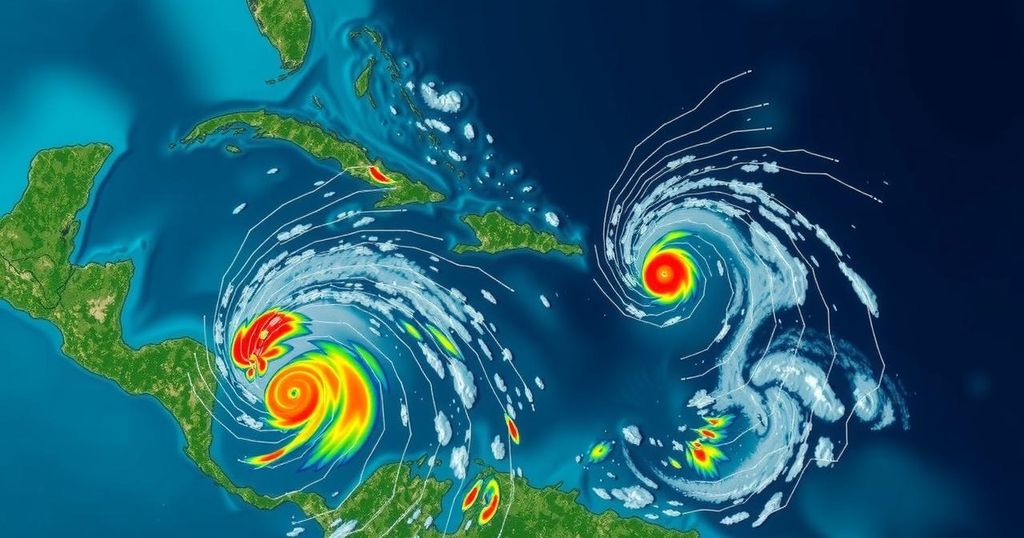
National Hurricane Center Monitoring Three Disturbances in the Atlantic with Development Potential

The National Hurricane Center is tracking three disturbances in the Atlantic, including one system with a 70 percent chance of becoming a tropical depression in the coming days. Another system exhibits low development potential while a third is a non-tropical low pressure area near the Azores.
The National Hurricane Center (NHC) announced on Friday that it is monitoring three weather systems in the Atlantic Ocean, with one system posing a potential risk of developing into a tropical depression in the near future. According to NHC officials, a vast area of low pressure is expected to materialize over the southwestern Caribbean Sea within the coming days, with expectations of gradual maturation following its formation. Forecasters at the NHC indicated that a tropical depression could form by late this weekend or early next week as this system drifts predominantly northward or northwestward across the central and western regions of the Caribbean Sea. They further noted, “Regardless of development, locally heavy rains are possible over portions of the adjacent land areas of the western Caribbean.” The NHC has assigned a 70 percent likelihood of this system developing over the ensuing week. The next storms in the 2024 Atlantic hurricane season are anticipated to be named Patty and Rafael. In addition to this primary system, the NHC is closely monitoring two other disturbances in the Atlantic, both of which exhibit low chances for further development. The first system is categorized as a “trough of low pressure” positioned near Puerto Rico, generating extensive showers and thunderstorms across parts of the Greater Antilles and nearby Atlantic and northeastern Caribbean waters. NHC forecasters have indicated that “slow development of this system is possible during the next few days as it moves west-northwestward near the Great Antilles,” with expectations that it may eventually merge into the Caribbean low pressure area. The NHC emphasized that, “Regardless of development, locally heavy rains are possible during the next several days from the northern Leeward Islands westward across Puerto Rico and Hispaniola to eastern Cuba and the southeastern Bahamas.” The second system being monitored is described as a “storm-force non-tropical low pressure area” approximately 400 miles west of the Azores, which is producing limited shower activity. There remains a possibility of some subtropical development as this system shifts eastward over the next few days.
The National Hurricane Center serves as the primary agency for monitoring and forecasting tropical weather systems, particularly during the Atlantic hurricane season, which typically runs from June 1 to November 30. Disturbances in the Atlantic Ocean can develop into tropical depressions, storms, or hurricanes, posing significant risks to coastal communities in terms of severe weather and precipitation. The NHC employs advanced meteorological models and observational data to predict the trajectory, intensity, and potential impact of these systems. The identification and tracking of weather phenomena early in their formation are crucial in mitigating risks associated with severe weather events across the region.
In summary, the National Hurricane Center is actively monitoring three systems in the Atlantic, with the most significant potential for development coming from a low-pressure area in the southwestern Caribbean. While this system has a high chance of evolving into a tropical depression, two additional systems exhibit lower development probabilities. Localized heavy rainfall is expected to affect several areas in the Caribbean regardless of these systems’ eventual development. Given the unpredictability of tropical weather, ongoing surveillance and timely updates from the NHC are essential.
Original Source: www.usatoday.com


