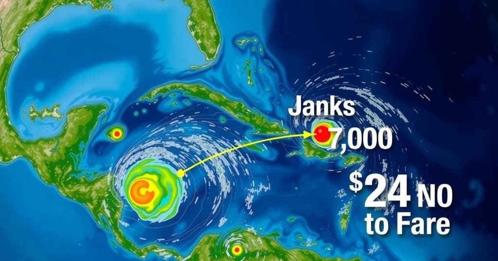
Increased Potential for Tropical Cyclone Development in the Atlantic Basin

As of early November, three areas in the Atlantic are being monitored for tropical cyclone development. One disturbance in the southwest Caribbean shows a 60% chance of forming and could impact the region as early as mid-week. Local weather remains warm and mostly dry, although minor rain is possible this weekend. Predictions continue to adapt as the system evolves.
As we transition into November, an unusual uptick in tropical activity persists in the Atlantic basin. Currently, meteorologists are monitoring three distinct regions that exhibit potential for developing into tropical cyclones over the coming days. One area, located in the eastern-central Atlantic, poses no immediate threat to the United States. However, the other two zones warrant closer observation: one near Puerto Rico, which has a diminished 10% chance of development, and another situated in the southwestern Caribbean Sea, which shows a notable 60% probability of developing within the next week. The primary focus will be on the disturbance emerging from the southwestern Caribbean. Forecast models indicate the possibility of a tropical cyclone forming and subsequently moving into the southeastern Gulf of Mexico by the middle of next week. It is important to note that long-range prediction models suggest a large area of high pressure along the eastern U.S. seaboard may keep this system directed towards the central Gulf of Mexico. Typically, during this time of year, systems developing in the western or southwestern Gulf tend to move northward and eventually veer northeast. Thus, while there is no immediate cause for concern, it remains essential to monitor this situation closely as the weekend approaches. At present, if this developing system were to influence our region, it is projected to potentially impact us primarily on Thursday or Friday of the upcoming week. Meanwhile, local weather is anticipated to remain warm and sunny on Friday, with temperatures reaching the mid to upper 80s and easterly winds at approximately 10 mph. As we progress into the weekend, a slight increase in atmospheric moisture may result in isolated showers developing in the late afternoon, moving from inland areas toward the coast. However, the likelihood of significant rainfall remains low. As we enter next week, winds are expected to intensify, but rainfall probabilities will likely remain modest through Monday and Tuesday, pending developments from the system emerging in the southern region.
The Atlantic hurricane season traditionally spans from June to November, with peak activity typically occurring during late summer and early autumn. As the season progresses towards its conclusion, atmospheric conditions generally become less conducive to storm formation. However, anomalies do occasionally arise, leading to extended periods of tropical development, such as is currently being observed. Wilfrid or any upcoming storms could significantly affect weather patterns across the Southeastern United States, especially as they interact with other weather systems, including high-pressure zones along the East Coast.
In conclusion, while the onset of November typically signals a tapering of tropical activity, meteorological observations indicate an elevated potential for cyclonic development in the Atlantic, particularly in the southwestern Caribbean Sea. Continuous monitoring of these disturbances is critical to forecast their paths and potential impacts accurately. Residents are advised to remain attentive to weather updates as the situation evolves over the upcoming days.
Original Source: www.mysuncoast.com


