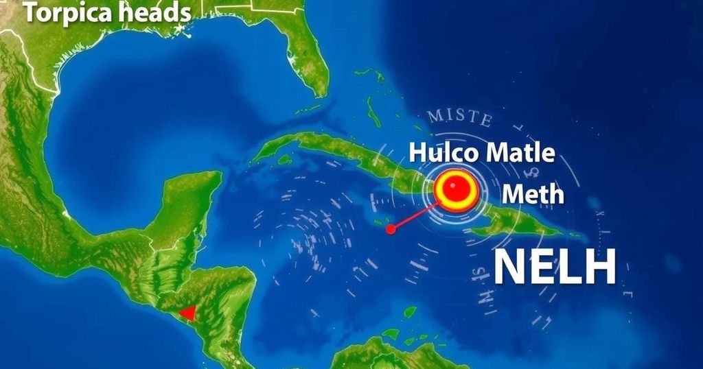
Tropical System Forecast: Potential Development Towards Gulf of Mexico

Forecast consensus indicates a potential tropical system could approach the Gulf of Mexico late next week, possibly developing into Tropical Storm Patty. Current conditions suggest limited chances for storm intensification due to dry atmospheric conditions and cooler waters.
Recent forecasts indicate increased consensus regarding a tropical system potentially advancing toward the Gulf of Mexico next week. Following a series of observations, it has become apparent that a disturbance, possibly evolving into a tropical depression or Tropical Storm Patty, is expected to emerge as early as late next week. On October 31, in an updated assessment, it was noted that, while meteorological conditions have yet to yield significant development, predictive models are converging on a more cohesive outlook. A robust high-pressure system dominating the southern United States has thus far obstructed any northern movement of tropical activity. However, this high-pressure system is anticipated to weaken, consequently creating a favorable pathway for the aforementioned disturbance to drift towards the Gulf. Currently, a broad low-pressure area near the Colombian coastline is expected to amalgamate with this incoming tropical disturbance, gradually shifting west into the southern Caribbean over the next several days. This atmospheric setup will foster a large low-pressure gyre that is likely to draw moisture from the Pacific towards the northern Caribbean islands. Such gyres are known to develop particularly during the latter part of hurricane season over Central America. The forecast models predict that this combination of systems will contribute to the establishment of an organized tropical disturbance by next week. Nonetheless, the exact location of this development within the Caribbean remains uncertain. An unusual dip in the jet stream is projected to significantly enhance the dynamics of this developing system, and the National Hurricane Center has indicated a medium probability that this disturbance may at least evolve into a tropical depression in the coming days. As the gyre continues to shift westward over Central America, the resultant circulation is expected to redirect the tropical system towards the Gulf of Mexico. Projections suggest that this entire process will unfold over the course of approximately a week, necessitating caution due to the inherent uncertainties involved in long-range forecasting. While the prospect of potential tropical systems entering the Gulf is concerning, current indications reveal that adverse upper-level winds are likely to persist across both the Gulf and Florida regions. Additionally, atmospheric conditions appear to be relatively dry, while Gulf sea temperatures have notably decreased from their summer maxima, leading to concerns that if a system were to manifest, the environment may not be conducive to the formation of a formidable storm. It is imperative to remain aware of the critical principle that forecasts regarding weak or nascent systems, particularly those that have yet to materialize, are frequently subject to substantial inaccuracies and drastic modifications.
The article discusses tropical cyclone forecasts as environmental conditions in the Gulf of Mexico adjust. It emphasizes the blending of a low-pressure system and a tropical disturbance to create a potential storm that could approach the Gulf of Mexico. The forecast highlights the delicate balance of meteorological factors affecting storm strength and development. As hurricane season often brings unpredictability, the necessity for ongoing monitoring and updated forecasts is emphasized, especially in the context of the evolving atmosphere above the Gulf.
In summary, while there is growing consensus about a potential tropical system moving towards the Gulf in the coming week, current environmental conditions suggest that, should such a system emerge, it is unlikely to develop into a strong storm. The fluctuation in meteorological patterns needs continual observation, as the impact of upper-level winds, atmospheric dryness, and cooler Gulf waters play crucial roles in the development of tropical disturbances.
Original Source: www.foxweather.com


