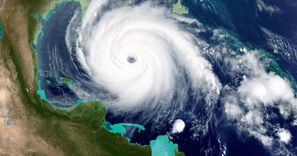
Hurricane Kristy Tracker: Path of Category 4 Storm Expected to Remain Over Water

Hurricane Kristy has intensified to a Category 4 storm with winds reaching 150 mph and is expected to weaken soon. The storm is currently moving westward and is forecasted to produce dangerous surf conditions along the Baja California coast. Tracking models and meteorological tools are being utilized to predict its path accurately.
On Wednesday, Hurricane Kristy intensified to a Category 4 storm, displaying significant fluctuations in its strength, as reported by the National Hurricane Center (NHC) on Thursday morning. As of the latest updates, the storm was approximately 845 miles southwest of the southern tip of Baja California, maintaining a predominantly westward trajectory. The forecast indicates a continued movement toward the west to west-northwest for Thursday, transitioning to a slower northwest to north-northwest course by late Friday. The storm has recorded maximum sustained winds of 150 mph, with potential higher gusts. The NHC noted that there could be further “fluctuations in strength” throughout Thursday, yet a rapid decline in intensity is anticipated starting Thursday night or Friday. Although Kristy is expected to travel over open water, the resultant swells are projected to impact portions of the western coast of the Baja California peninsula later this week, creating “life-threatening surf and rip current conditions,” as stated by the hurricane center. In terms of tracking, the forecast path illustrates the likely trajectory of the storm’s center but does not encompass the complete extent of the storm or its potential impacts. There is an acknowledgment that the storm’s center may deviate from the projected path up to 33% of the time. The NHC employs a selection of the most reliable forecasting models, focusing on the top-performing few to develop its predictions.
Hurricane Kristy has emerged as a formidable weather event, escalating to a Category 4 classification due to its robust wind speeds and associated meteorological characteristics. Hurricanes are classified by their maximum sustained winds, with Category 4 indicating severe to extreme impacts, including potential for extensive damage to properties and services. The role of the National Hurricane Center is critical in monitoring and forecasting the paths of such storms, providing essential information to mitigate risks associated with severe weather events. The impacts of hurricanes extend beyond their immediate path, as they can create dangerous swell conditions, affecting coastal regions even when the storm remains offshore.
In summary, Hurricane Kristy has intensified into a Category 4 storm with maximum sustained winds of 150 mph. Its current trajectory suggests an ongoing westward movement with expected fluctuations in strength. Precautionary warnings have been issued for coastal areas due to anticipated hazardous surf conditions. As the storm is projected to weaken over the coming days, continuous monitoring by the NHC remains essential for safe navigation and disaster preparedness in the regions potentially affected by the storm’s swells.
Original Source: www.recordonline.com


